Local Weather: The Summer Steam is on! We will be under the influence of an area of high pressure centered in the Western Atlantic Ocean. It is already building in and it has brought a pocket of drier air with it. Therefore, explaining why it will be less stormy. Over the weekend, as the breeze picks up along the coast, we should see the sea breeze showers and storms develop inland and favor southwest Florida. The coastal communities should be bright. Keep in mind if you are planning on soaking up the South Florida sun, to wear sunblock and reapply often. Also, the risk of rip currents returns at the beaches, so if you are not an experienced swimmer, it is advised to be near a lifeguard!
By Monday and Tuesday, the rain chances will be higher. It seems that most of the models are going with afternoon driven activity and drier as the sun sets and we lose the heating of the day. This means that although we will have mostly cloudy skies in the evening, we should see a dazzling display of fireworks on our Independence Day!
There is a lower risk for lightning this afternoon. Get all the details on Today in Florida! pic.twitter.com/02xgvT3qtX
— Vivian Gonzalez (@VivianGonzalez7) June 30, 2017
For those of you making it a long weekend. It should be steamy with a better rain chance on the 4th of July. pic.twitter.com/gkPsVUZrdj
— Vivian Gonzalez (@VivianGonzalez7) June 30, 2017
Keep it tuned to your Storm Station, 7 News!
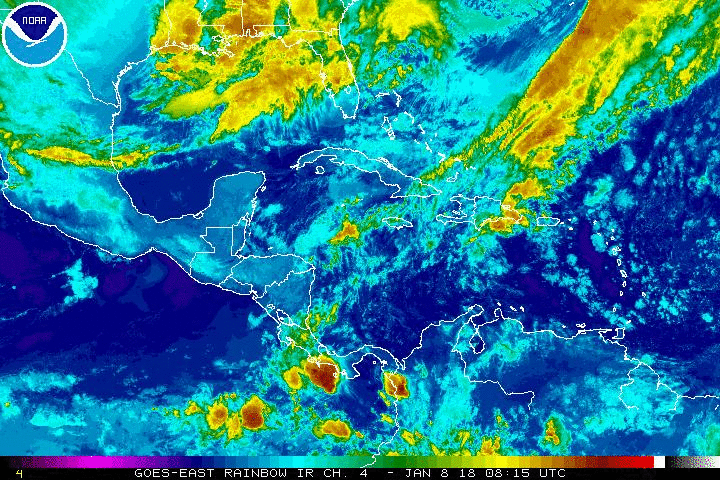
Tropical Update: The National Hurricane is not following any area in the Atlantic Basin for development at this time. However, there is an area of clouds and rain moving through Puerto Rico and bringing periods of heavy rain and storms around the northwest quadrant of the island. Urban and small stream flooding possible as this area departs.
Have a wonderful weekend South Florida and make it a safe one!
Vivian Gonzalez
Meteorologist, AMS
WSVN Channel 7