We are looking at a damp start to the weekend.
High pressure building in behind a stalled front over The Bahamas and Cuba will push showers in our direction off the east breeze. Expect scattered showers and a few storms on Saturday. Additionally, this strong onshore push of wind will rough up the surf and seas. There is a high risk of rip currents at local beaches and a small craft advisory in place for boaters.
Winds roughing up surf & seas. Along with boating advisory, high risk of rip currents thru SUN night @wsvn @7weather pic.twitter.com/QQgkf4EJCS
— Miss Chavis (@karlenechavis) October 21, 2017
As the front continues to fade and high pressure strengthens into the start of the week, lingering moisture will bring us a few spotty showers and a little more sunshine through at least Tuesday morning.
Models suggest a cold front will continue to make its way towards the Sunshine State. Expect a stormy setup on Tuesday afternoon and Wednesday ahead of this front.
On the backside, South Florida will get its first taste of cooler and drier weather this season as highs reach the upper 70s to low 80s and overnight lows dip into the 60s and low 70s under mostly sunny skies.
Looks like a fall front will bring a dip in degrees to #SoFlo by next week @wsvn @7weather #flwx pic.twitter.com/2wPe2NnPbI
— Miss Chavis (@karlenechavis) October 21, 2017
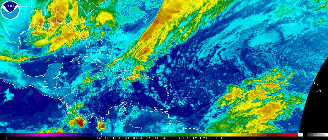
TROPICS
All is quiet.
Copyright 2024 Sunbeam Television Corp. All rights reserved. This material may not be published, broadcast, rewritten or redistributed.