Happy Tuesday, South Florida!
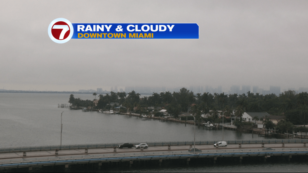
It was another chilly start to our morning! Monday proved to be a disaster of a day on all accounts as temperatures remained in the 50s all day long when they were supposed to be reaching into the 60s. Extensive cloud cover, on-and-off rain and a Northerly wind limited any heating across South Florida on Monday afternoon. This morning we once again woke up to the same light rain that we saw all day yesterday and temperatures were cool once again in the 50s under cloudy skies.

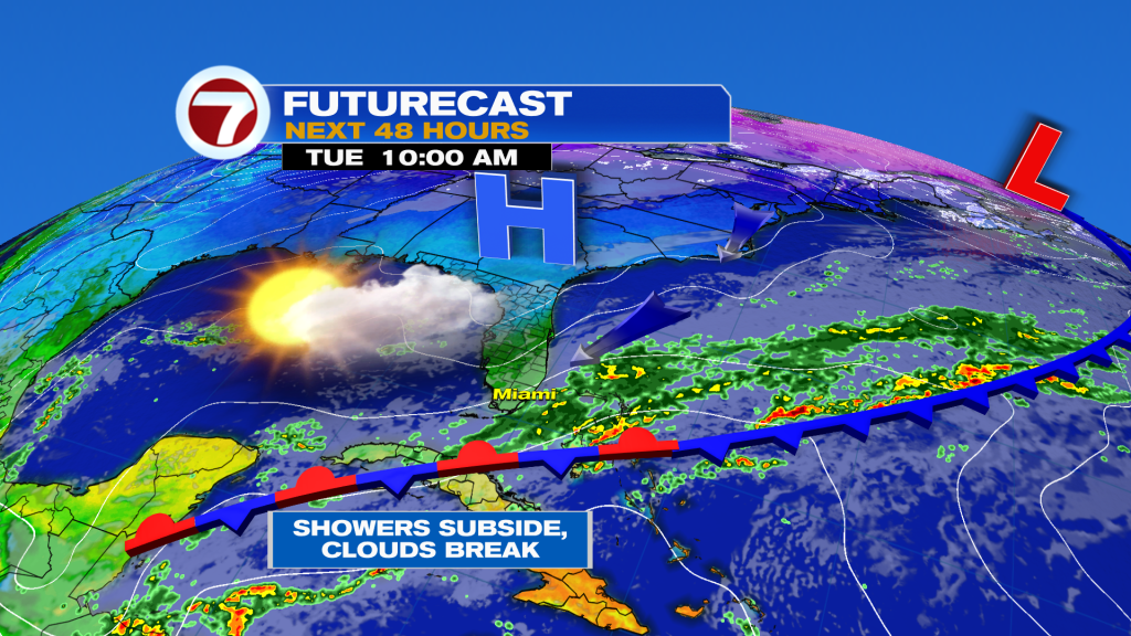
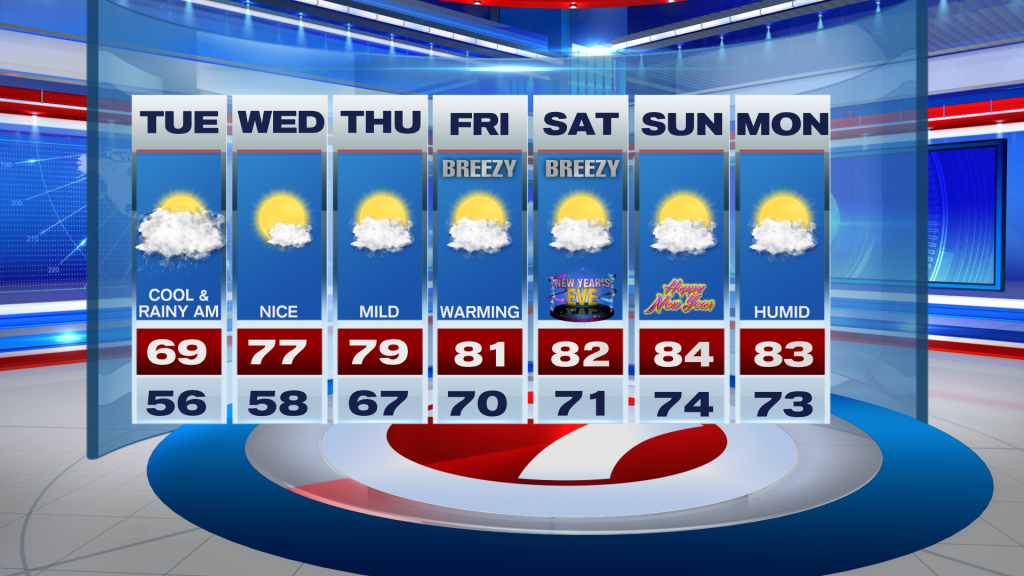
While today showers and clouds remain in the forecast, there will be some slight differences as we go about our day. A disturbance nearby will help produce showers from time to time during the morning hours and will keep the moisture flowing in from the Gulf of Mexico in the form of clouds. But as we work our way into the afternoon, the disturbance, along with its moisture, will begin to move away from South Florida. This will allow for the rain to gradually subside and for the clouds to slowly clear from NW to SE. High temperatures today are forecast to reach into the upper 60s to near 70°.

Looking ahead, changes will finally begin to take shape. Drier air will move in late today and stick around through mid-week so the Sun will finally make its full return by Wednesday (maybe even as early as this afternoon!). Then warm up continues for the rest of the work week. As winds veer off the water, the air mass will moderate with the return of ocean air. Then the final days of 2022 promise to bring warmer temperatures in the low to mid 80s, low rain chances, a touch more humidity and breezy conditions. And it looks like the start of new year will end the way South Florida is used to being: warm and humid. At least rain won’t be an issue as we ring in the new year!

Have a great day!
Erika Delgado
Meteorologist
WSVN Channel 7 News
Copyright 2024 Sunbeam Television Corp. All rights reserved. This material may not be published, broadcast, rewritten or redistributed.
