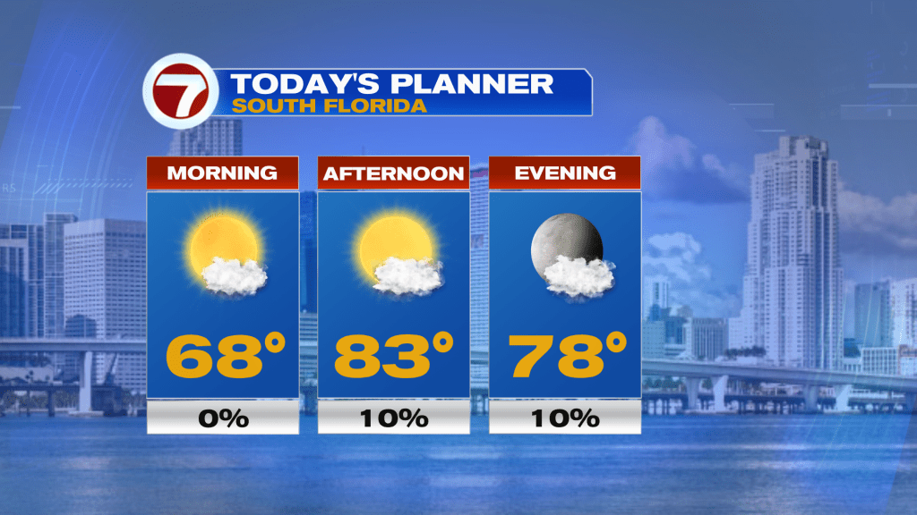
High pressure remains in charge as we start the first full week of 2023. Therefore, look for another warm and dry day ahead. Highs will range in the low 80’s.
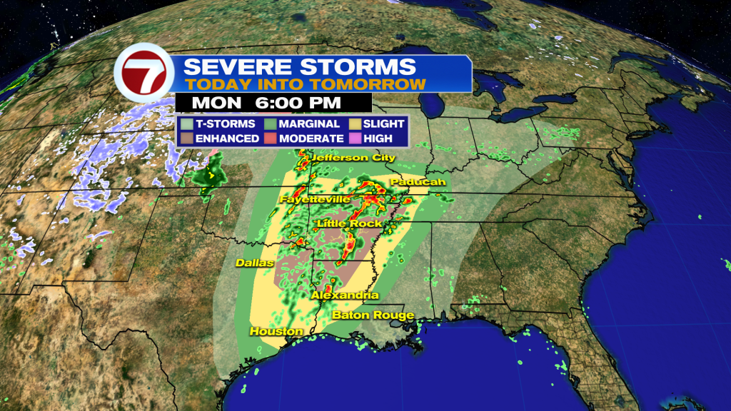
The Storm Prediction Center has issued an Enhanced Risk of severe thunderstorms over the Lower Mississippi Valley from Monday through Tuesday morning. The hazards associated with these thunderstorms are frequent lightning, severe thunderstorm wind gusts, hail, and a few tornadoes.
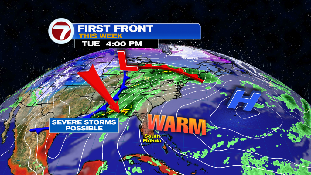
The cold front will not be powerful, but cross rather weak on Thursday through Florida. A few showers possible ahead of the front late Thursday.
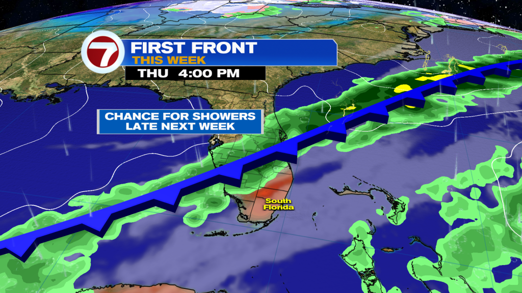
By Friday morning, temperatures will drop a good 5 to 10 degrees (not a drastic drop) with lows in the low 60’s and highs closer to normal values in the 70’s. You may need a light sweater/jacket in the morning over the weekend, but it should be nice and comfortable by the afternoon.

Have wonderful first full week of the year and make it a safe one!
Vivian Gonzalez
Meteorologist, AMS Certified
WSVN Channel 7