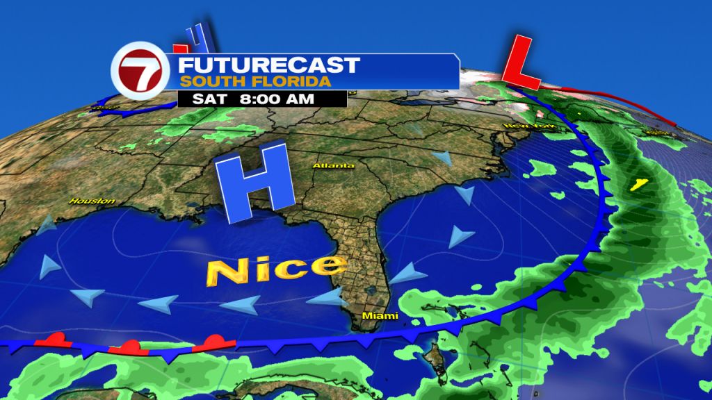
It’s feeling nice this morning as temperatures are a few degrees cooler compared to yesterday coupled with slightly lower humidity. After an unseasonably hot day yesterday milder air will continue to filter into south Florida today behind last night’s cold front.

Highs will be in the mid 80s this afternoon which is right around average for this time of year. While we’ll have plenty of sunshine for our Saturday and stay mostly dry the front will be parked over the Florida Straits and moisture will linger keeping the chance for a stray shower in the forecast.
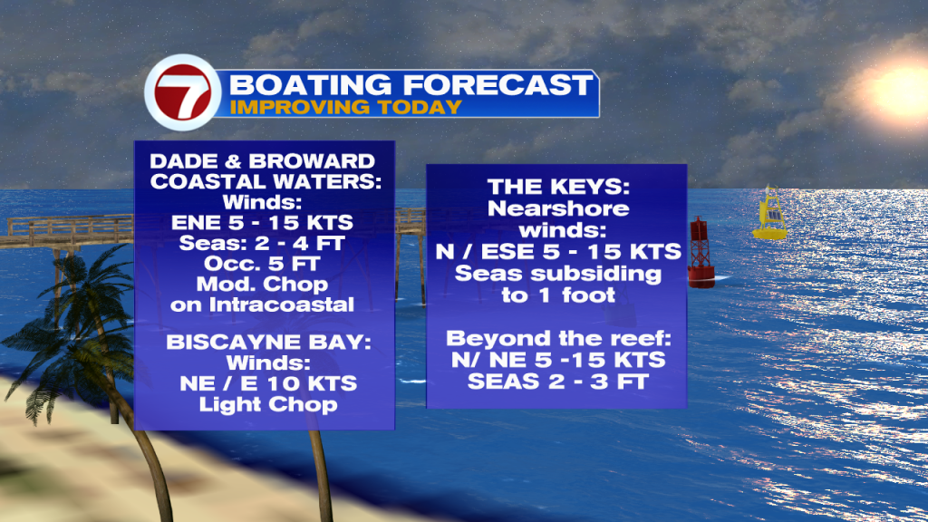
Beach and boating conditions have improved for today as well. Rip current risk will increase throughout the weekend as winds become more easterly.
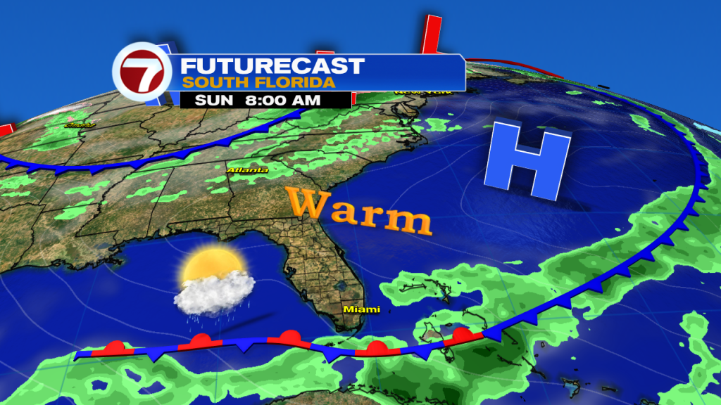
By Sunday an ocean breeze and high pressure are in full control of our weather. Highs will once again be in the mid 80s with an isolated shower chance, especially for the Keys.
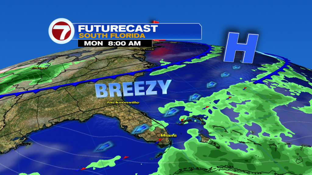
Early next week will be very typical south Florida spring weather. Breezy to gusty winds Monday through Wednesday with an isolated fast shower each day. Highs will be in the mid to upper 80s with a mix of sun and clouds.
Rain chances start to go up a bit Thursday and Friday of next week as winds shift to more southeasterly.
Only stray showers on the breeze the next few days! Don't miss my full forecast on @wsvn this morning! pic.twitter.com/aHxErnJTMh
— Felicia Combs (@FeliciaCombsTWC) April 27, 2019
Have a nice Saturday!
-Meteorologist Felicia Combs
Copyright 2024 Sunbeam Television Corp. All rights reserved. This material may not be published, broadcast, rewritten or redistributed.