Enjoy the sunshine and dry time while you can because wetter weather is ahead for the Labor Day holiday weekend.
As has been the case in recent days this week, morning sunshine has given way to hit or miss, showers and storms, especially across inland areas. That has remained the story this Thursday with inland storms, some of which could track closer toward the coast by the evening hours. Then overnight tonight, it should be mostly dry overall besides some spotty, coastal showers.
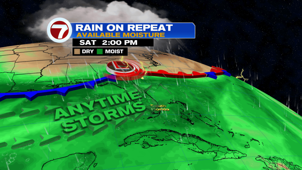
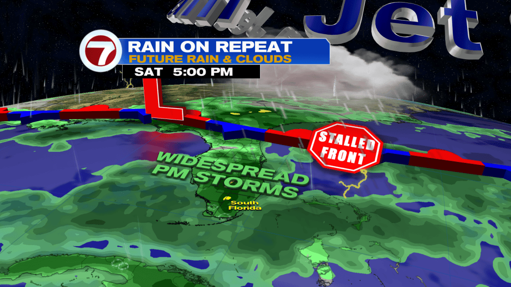
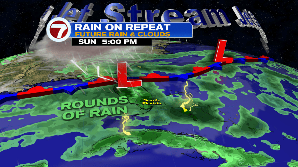
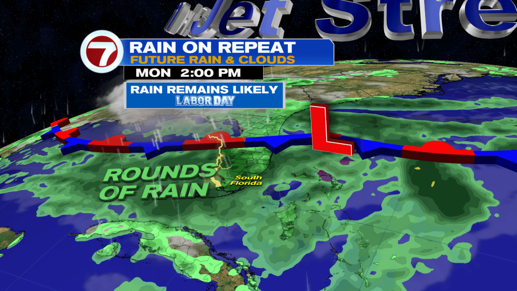
On Friday, it will turn a bit wetter compared to previous days as moisture levels continue to increase and a front remains stalled to our north. Along the front, there will be spins of low pressure, helping to amp up the atmosphere and provide higher rain chances.
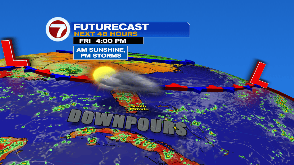
Expect sunshine and a few downpours in the morning Friday, then scattered to numerous thunderstorms in the afternoon, especially away from the coast. Before the storms erupt, high temperatures will generally reach the low 90s.
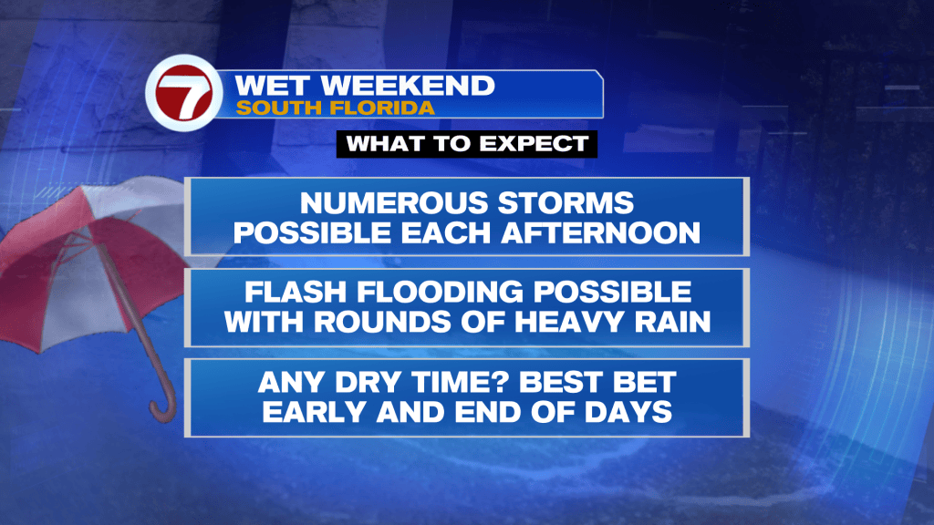
Then over long holiday weekend, it turns even wetter with rain chances climbing to a 70-80% chance. Given multiple days with the potential for heavy rain, flash flooding will be possible. A widespread 1-4 inches is forecast between now and Monday, with isolated 6-10 inch totals.
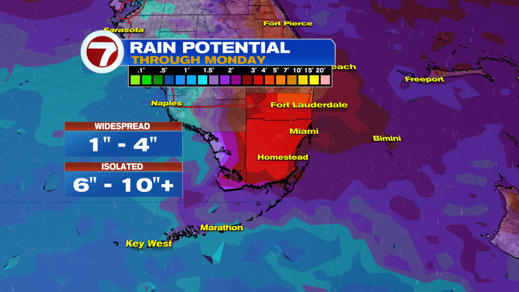
It’s not going to be a washout all weekend long but definitely have an indoor backup plan for any activities you have set for outside.
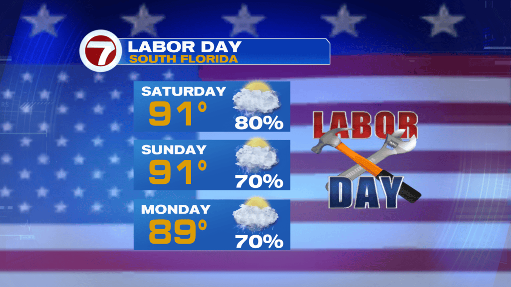
Throughout the duration of the three-day weekend, the highest rain chances will generally fall during the midday and afternoon hours. Therefore, if you’re trying to do anything outside, the earlier in the day, the better. That’s also when there will be a bit more sunshine before clouds increase during the afternoon.
Tropical update
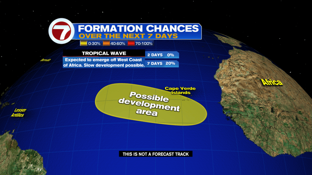
There are currently no active systems in the tropics. There is a tropical wave the National Hurricane Center is monitoring for potential tropical development, however. It’s still over Africa and has a low, 20% chance of forming over the next 7 days.