High pressure will continue to strengthen over the Sunshine State into the weekend. This will result in drier air over Central Florida moving into South Florida into Friday night. Before that happens, we could see a few showers off the consistent northeast breeze.
Happy Friday! Partly sunny skies with a few showers off a northeast breeze today @wsvn @7weather #flwx pic.twitter.com/ab8FBZUP0b
— Miss Chavis (@karlenechavis) November 17, 2017
The steady onshore winds is still roughing up the surf and seas. There is a high risk of rip currents at our local beaches. For boaters in Miami-Dade and Broward coastal waters, they are advised to use caution. For The Keys, there is a small craft advisory in place in the Atlantic waters.
Coastal concerns remain at our local beaches. Expect a high risk of rip currents today. A Small Craft Advisory remains in place for the The Keys along the Atlantic @wsvn @7weather #flwx pic.twitter.com/uJev7XNK8p
— Miss Chavis (@karlenechavis) November 17, 2017
Now back to the shower chances. As Friday progresses, chances will drop. Expect a mostly dry night under partly cloudy skies and mostly sunny skies on Saturday and Sunday with calmer winds out of the east. Temps will also be in the seasonal range, highs near 80° and lows in the mid 60s (inland) and upper 60s (metro and coast).
Models suggest another cold front will close in on Central Florida starting Sunday night. It looks to stall near the region and bring a better chance of showers starting Monday night / Tuesday morning and stick around through Thanksgiving.
TROPICS
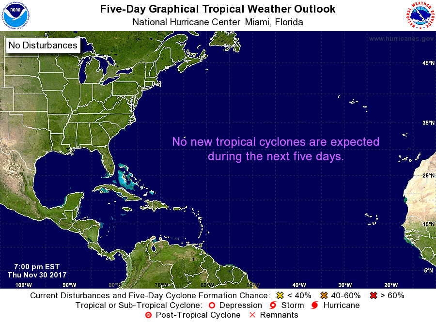
An area of low pressure is producing disorganized showers and storms over the Caribbean Sea. The National Hurricane Center is giving this feature low chance for development over the next 5 days. Regardless of development, heavy rainfall is possible over portions of the northwestern coast of Colombia, Hispaniola, and Puerto Rico through the weekend.

Copyright 2024 Sunbeam Television Corp. All rights reserved. This material may not be published, broadcast, rewritten or redistributed.