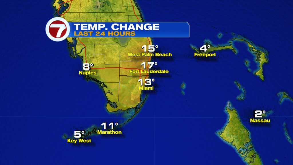
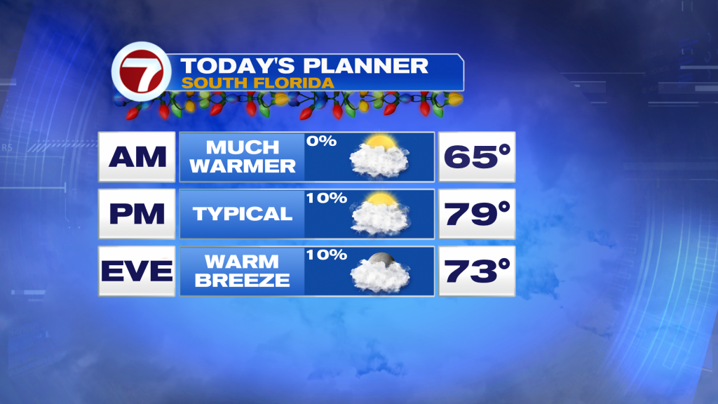
A dramatic change is in the air this morning across South Florida as winds have veered back off the water out of the east, leading to temperatures nearly 20F warmer this morning compared to yesterday.
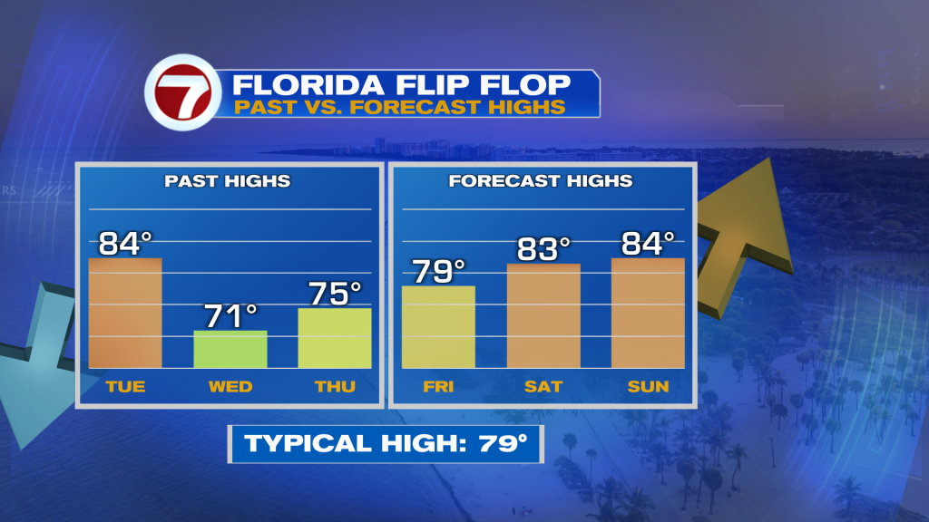
Not only will lows be warmer the next few days but highs will be too — rising from the low 70s on Wednesday to the mid 80s this weekend.
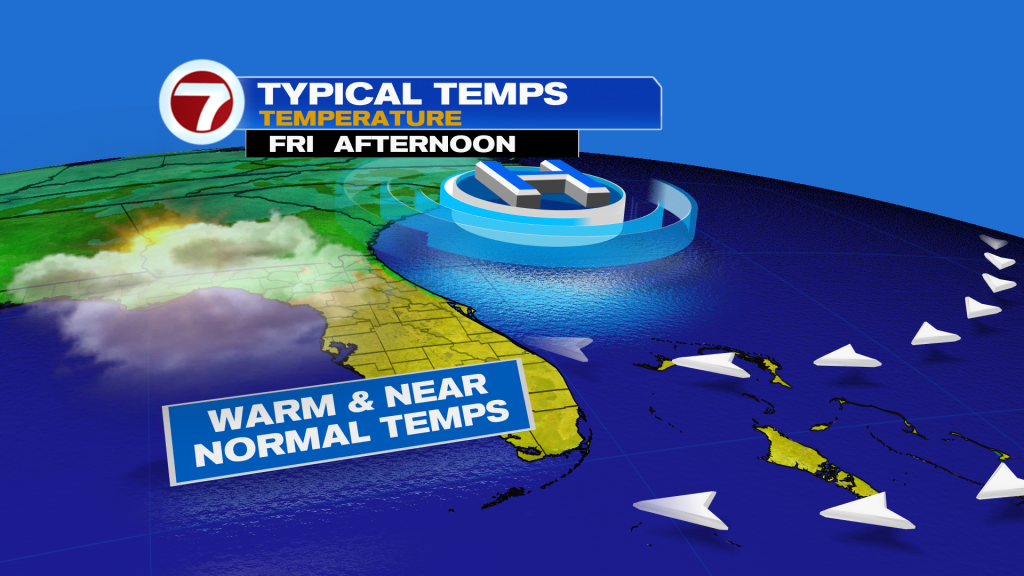
Throughout today, expect mostly cloudy skies along with typical temperatures in the upper 70s to around 80F — still with low humidity.
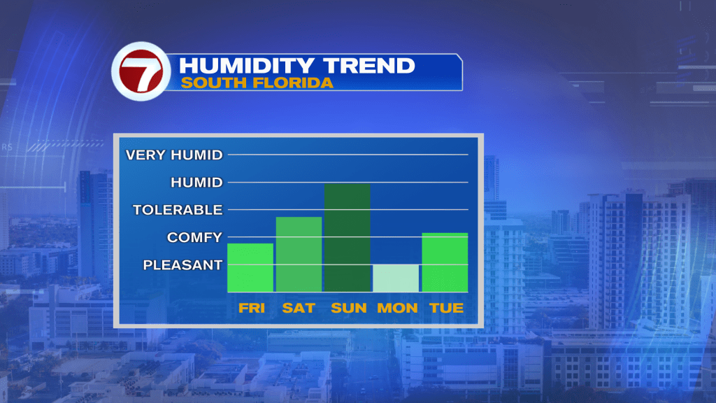
Humidity will gradually rise back to the moderate category this weekend, however, as winds veer more out of the south ahead of our next front.
Saturday will be the better half of the weekend featuring mostly sunny skies, a beach breeze and highs in the mid 80s.
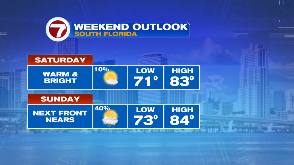
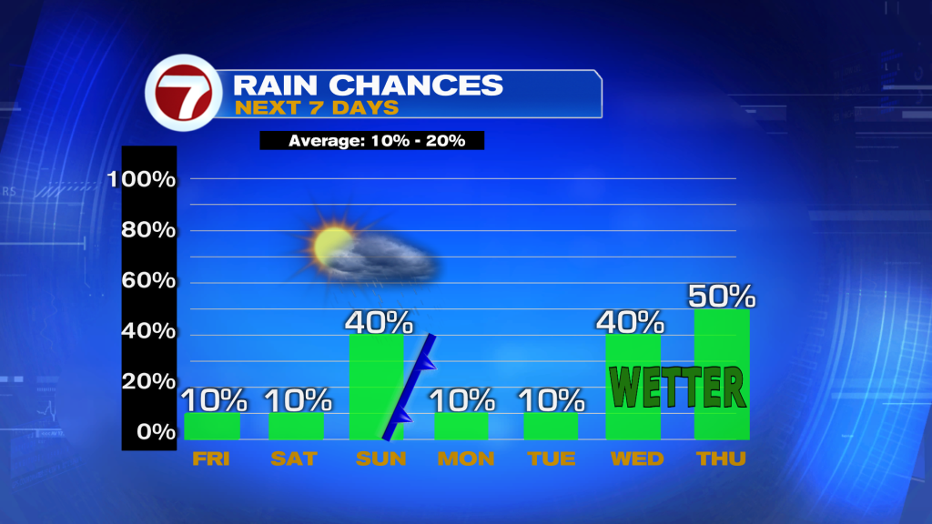
That’s because more available moisture in the atmosphere will start to stream in on Sunday, leading to the chance for scattered showers and thunderstorms, primarily from Sunday afternoon through early Monday morning.
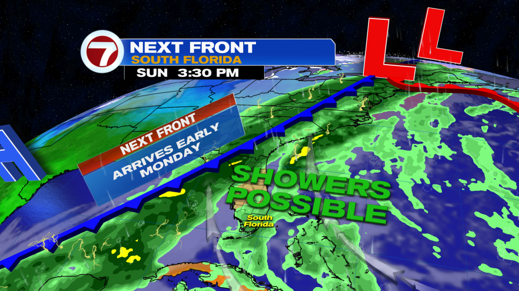
By daybreak Monday, our next front should have crossed, wiping away the moisture associated with it and leading to another drop in temperatures. This next cold front is not expected to be as strong, dropping lows down to the low 60s across much of mainland South Florida for Tuesday morning and highs in the mid 70s for Monday.
Much of next week will be characterized by windy weather, especially by midweek, along with below average temperatures early increasing to near-normal temperatures for mid to late week.
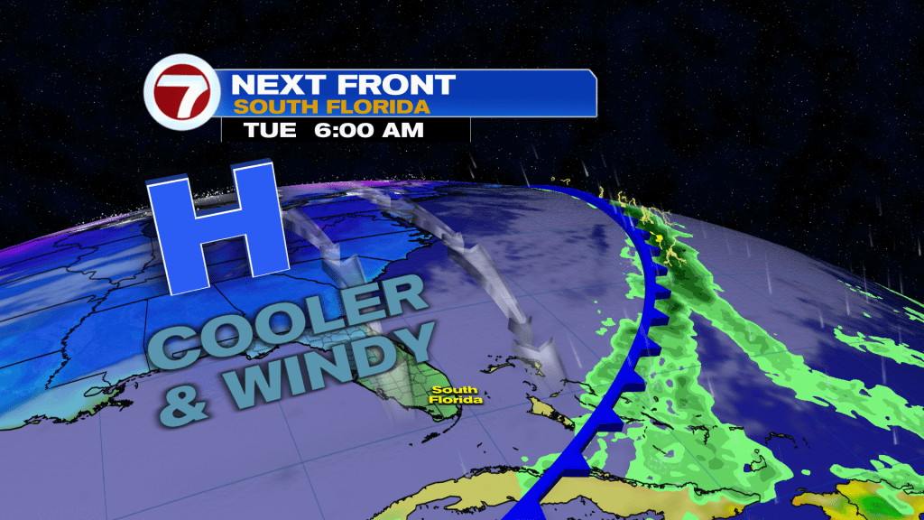
Given that this next front is forecast to stall just offshore, it could bring back more moisture mid to late week, ushering in another increase in rain chances starting Wednesday.