Happy Sunday south Florida!
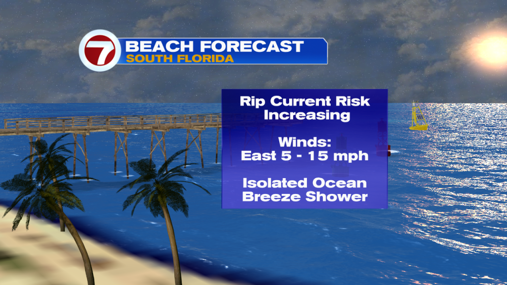
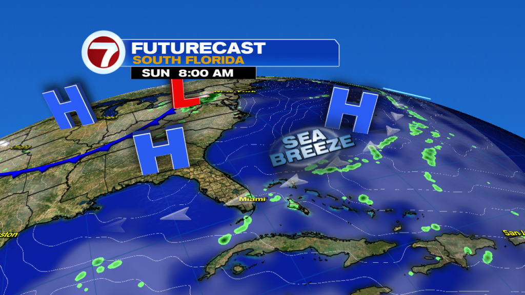
The ocean breeze will dominate our weather today. Increasing easterly winds will elevate our risk of rip currents at area beaches and help sea breeze showers develop inland this afternoon.
A lot of the east coast metro area will end up staying dry this afternoon with inland communities having a higher chances for a few showers. For the evening, a stray shower may make its way back to the east coast…it won’t be a rain out but anytime showers are possible throughout the day, this trend will continue as we edge toward the rainy season.
Highs will be in the mid 80s with a mix of sun and clouds. Overnight a few coastal showers are possible with lows in the mid to upper 70s.
Good morning! Warm with a stray shower today and passing clouds. An easterly breeze will increase the risk for rip currents over the next few days. pic.twitter.com/D4rvyXiNE4
— 7 Weather (@7Weather) April 28, 2019
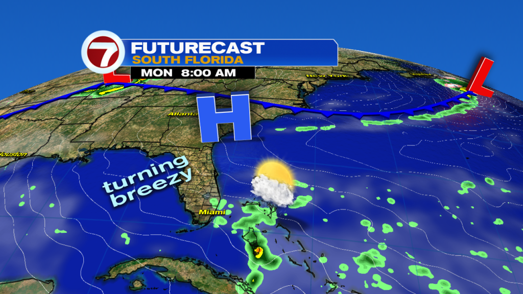
Winds continue to pick up Monday becoming breezy. The chances for showers is slightly higher but still only isolated Monday. Highs will be seasonable in the mid 80s.
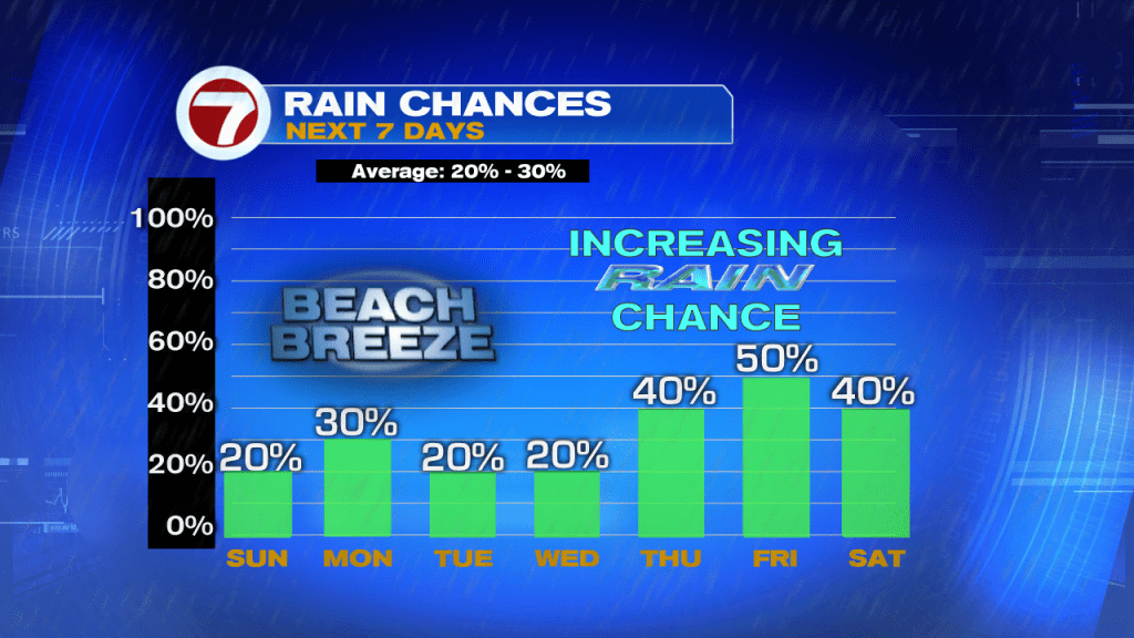
Tuesday and Wednesday will be typical spring days with highs in the mid 80s and a stray shower chances. Winds will pick up each day becoming gusty Wednesday.
Near average high temperatures the next few days with winds picking up tomorrow through Thursday.
Rain chances increase late next week into the weekend. pic.twitter.com/PPlrCVqPQI— Felicia Combs (@FeliciaCombsTWC) April 28, 2019
By Thursday rain chances increase with the highest rain chances for next week occurring Friday. The chance for scattered rain sticks around Saturday as well ahead of an approaching frontal boundary.
Have a safe and happy Sunday!
-Meteorologist Felicia Combs
Copyright 2024 Sunbeam Television Corp. All rights reserved. This material may not be published, broadcast, rewritten or redistributed.