This Saturday is our last day of winter but it will already feel more like spring. Following morning lows in the mid 70s near the coast and low 70s/upper 60s across inland areas, temperatures will rise up into the mid 80s this afternoon. Skies will be mostly clear despite a stray shower near the coast in the morning, then an isolated shower farther inland by the evening. It will also be pretty humid, driving heat indices to around 90F.
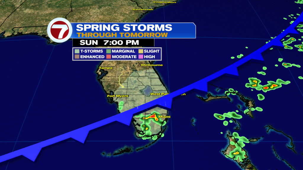
Changes do arrive to South Florida on Sunday, however, as a cold front tracks southward across Florida. A couple showers will be possible Sunday morning with wake-up temperatures in the low to mid 70s. Our better chance for rain will then arrive during the afternoon and evening hours. An isolated thunderstorm will also be possible, and there is even the risk for localized flooding. High temperatures on Sunday will remain in the mid 80s to mark the first day of spring.
By Monday, the front will clear just to our south. Temperatures will be slightly cooler and right around average at about 80F for a high. Most locations, especially in Miami-Dade and Broward Counties, should be dry. Then rain chances will increase slightly on Tuesday as the front stalls nearby. Our next notable chance for rain won’t arrive until Thursday into Friday of next week from another potential front.