Happy Saturday, South Florida!
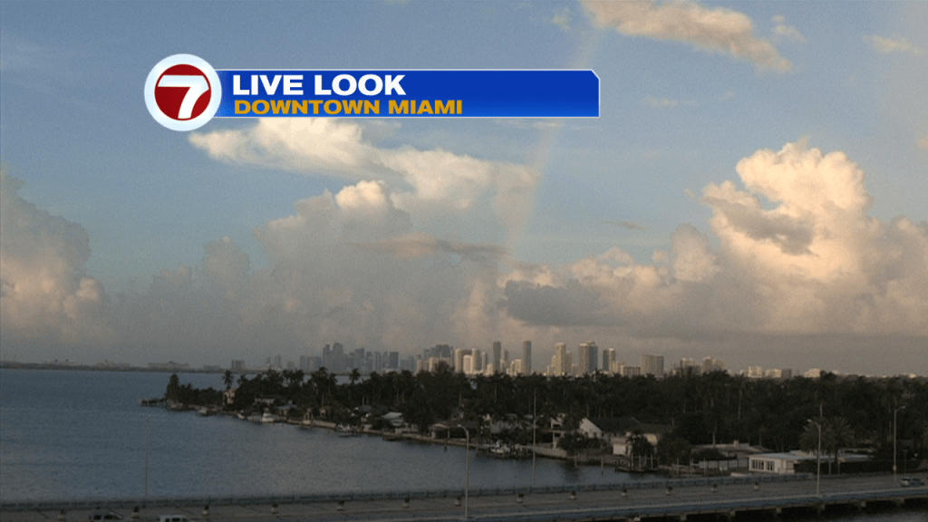
Hopefully everyone had a great week. The weather pattern has been changing every couple of days where we have continued to see up and down rain chances across our area. And after seeing a few steamy and mainly dry days here, the work week ended a little wetter than we had seen through much of the week. But after a wet Friday across south Florida, many are left wondering what can we expect for the upcoming weekend! Well this morning started off with a few showers and isolated thunderstorms surrounding but overall not nearly as wet as Friday morning. Many areas remained dry and even enjoy a rainbow sighting! The question is will showers stick around all day?
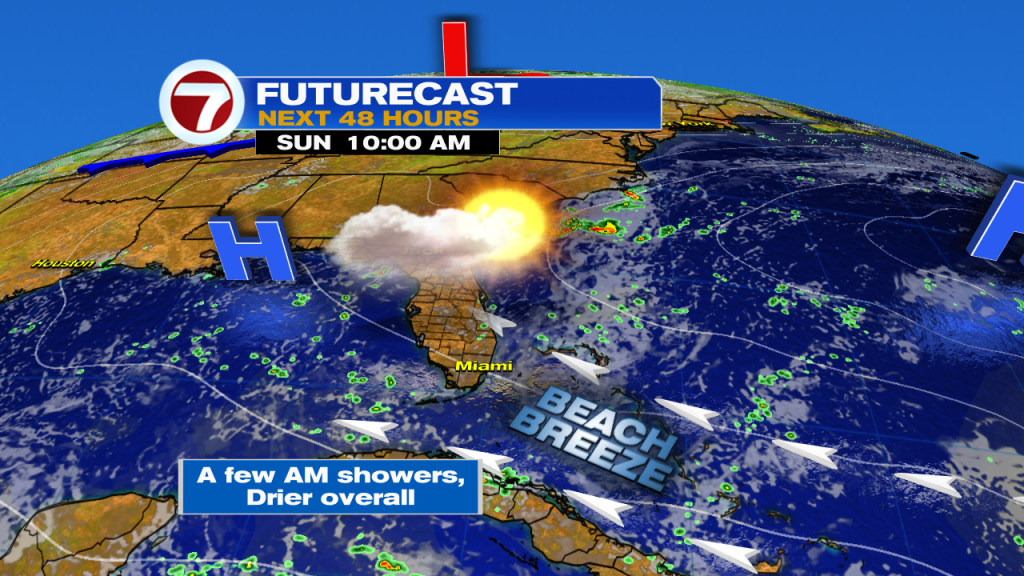
An upper level disturbance has been pushing across South Florida and that’s why we saw an uptick in moisture through the last 24 hours. But the good news is, that as quickly as the moisture moved in, it should move out of our area soon and just as quickly and be replaced by drier air today. That means that even though showers will be expected through the first half of the day, we should see an overall improvement as we work our way into the afternoon and evening. This is because drier air will begin to move into our area, which will salvage what’s left of our weekend. High temperatures today will reach into the lower 90s and with the added humidity it will feel like the 100s across many South Florida locations. And with a stronger East to Southeast breeze, we can expect the risk of rip currents to remain elevated across our beaches.

The latter part of the weekend does bring some change to South Florida. While a spotty few showers will be possible throughout the day, We will notice lower rain chances than today. This is because high pressure in the Atlantic will begin to strengthen once again while slightly drier air moves into our area. Also worth noting, if you look up at the sky you may notice slightly hazy skies. This is because a thin layer of Saharan dust will move in once again. So on Sunday expect a shower or 2, high humidity and afternoon high temperatures near 90°.
As mentioned above, up and down rain chances have been the trend across South Florida and it looks to remain the trend as we work our way into the start of next week. Models are suggesting that more moisture will move into our area starting Monday, which will increase our rain chances through the first half of the workweek. And as rain chances go up Monday and Tuesday, it looks like they will go right back down by mid week. This is because a thicker layer of Saharan dust will begin to move into South Florida starting Wednesday. That should significantly lower our rain chances, bring back those hazy skies and of course cause temperatures to be on the steamy side once again in the mid to lower 90s.

Have a wonderful weekend!
Erika Delgado
Meteorologist
WSVN Channel 7 News
Copyright 2024 Sunbeam Television Corp. All rights reserved. This material may not be published, broadcast, rewritten or redistributed.