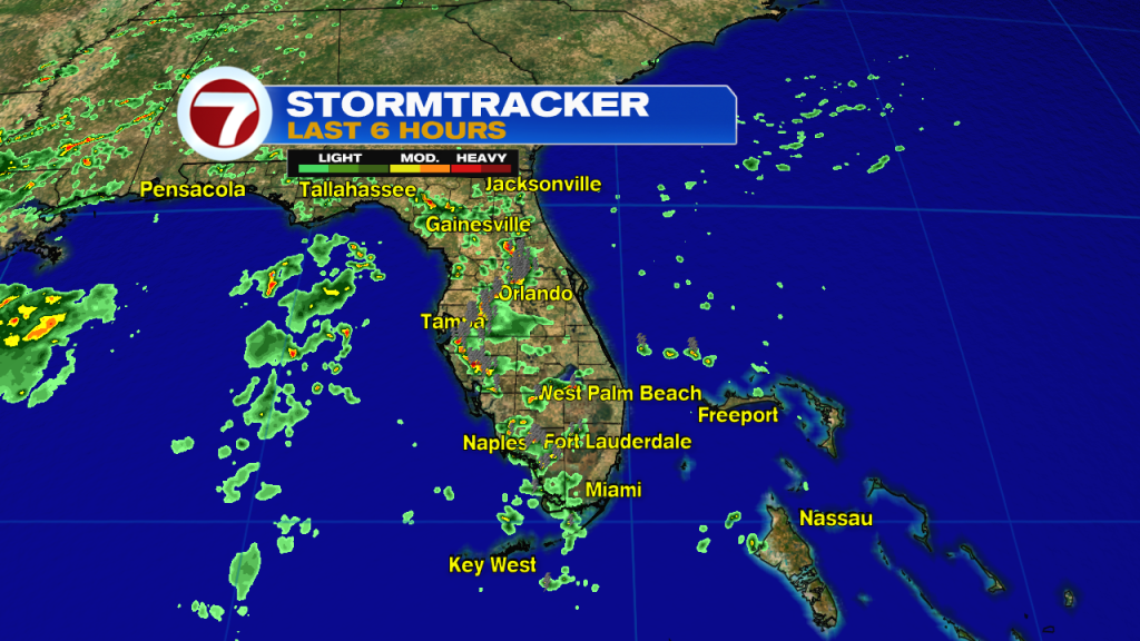
Summer storms recently made a comeback, with plenty of daytime heat and humidity in place across the state. However, on the radar view from Sunday afternoon, favored spots were over the interior and western areas. Could that change? It sure looks that way.
About 300 miles east of Miami, there’s a low pressure disturbance in the tropics. By Sunday night, it reached the Central Bahamas but in disarray. It’s weak and disorganized.

The National Hurricane Center dubbed it an “invest” (which stands for investigation) which means it’s being monitored for possible future development. Also, special forecast models are being run regularly, tracking the disturbance. As noted in the most recent update, formation chances remain very slim as the system works its way west. The main consequence (it appears) for south Florida will be more tropical downpours with greater coverage . The deep moisture will gather over us from Monday night through Tuesday. That could easily prompt several gusty thunderstorms.

Here’s a look at rain chances for the week ahead. Notice the spike higher into the midweek before settling back to average, next weekend.
