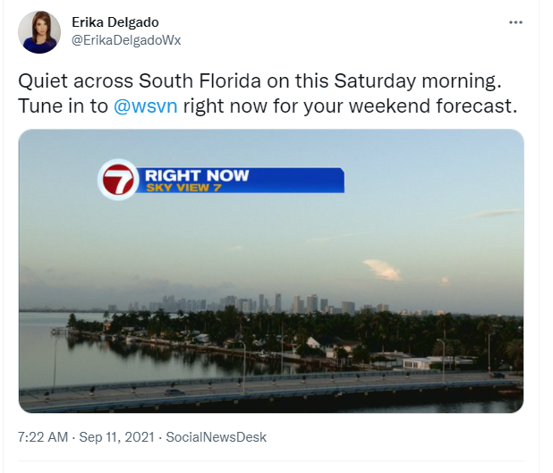
Happy Saturday, South Florida!
Hopefully everyone has had a good week so far. After a stormy start to the work week, yesterday South Florida finally saw somewhat of an improvement as far as our weather conditions. And even though we saw a few scattered thunderstorms Friday afternoon, the overall weather pattern was much drier than we had seen in previous days. Could South Florida finally be out of that stormy weather pattern? The answer is YES,… however it will be short-lived.
Drier air has moved into our area for the start of the weekend. In addition to less moisture, our regular wind pattern has returned to the forecast. The last few days a Southwest wind helped favor the East Coast for afternoon thunderstorms. But now an onshore flow (a wind off the water) means that afternoon thunderstorms, if any, will be focused across interior sections of South Florida.
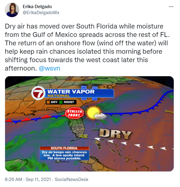
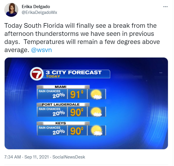
So what does that mean for today? South Florida will enjoy a break from this rainy and stormy weather pattern today. Drier air is in place but that doesn’t mean South Florida will be 100% dry. After all, we are *still* in summer and it *is* still South Florida. So other than a spotty to isolated shower coming in off the breeze, afternoon thunderstorms will be focused across interior sections of South Florida. Some of our western suburbs of Miami Dade and Broward County could see a spotty thunderstorm or two as any activity pushes west. With plenty of sun in the forecast today, our afternoon high temperatures will reach the lower 90s. Feels like temperatures across some of our locations could reach the 100s again.
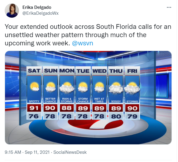
The latter part of the weekend does bring some changes to the forecast. Our onshore flow (our easterly winds) will pick up a bit, turning breezy at times. This will help tap into some moisture from the Atlantic and will bring a few scattered showers and thunderstorms our way from time to time. So unfortunately the dry weather pattern that we are expecting for the first half of the weekend seems to come to an end as we will have to bump up our rain chances starting Sunday.

Looking ahead, South Florida looks to remain under a wetter weather pattern at times throughout the week. A series of tropical waves will try to make their way across our area, bringing moisture along with it. So through much of the work week, South Florida may see showers and thunderstorms continuing on and off. Of course we all know how fickle these tropical waves could be so all of this will be highly dependent on whether or not the tropical waves actually hold together and make it to South Florida. For now, let’s enjoy this beautiful start to our weekend.
Have a great weekend!
Erika Delgado
Meteorologist
WSVN Channel 7 News
Copyright 2024 Sunbeam Television Corp. All rights reserved. This material may not be published, broadcast, rewritten or redistributed.