

Happy Sunday, South Florida!
Hopefully everyone had a nice start to the weekend as it was picture perfect here in South Florida. Afternoon high temperatures on Saturday reached into the lower 80s but we enjoyed plenty of sunshine and a nice easterly breeze. This morning we already saw some changes as we head into a different type of weather pattern. South Florida woke up to mostly cloudy skies, much warmer temperatures and storm tracker was quite active with ALL of South Florida seeing rain and thunderstorms!
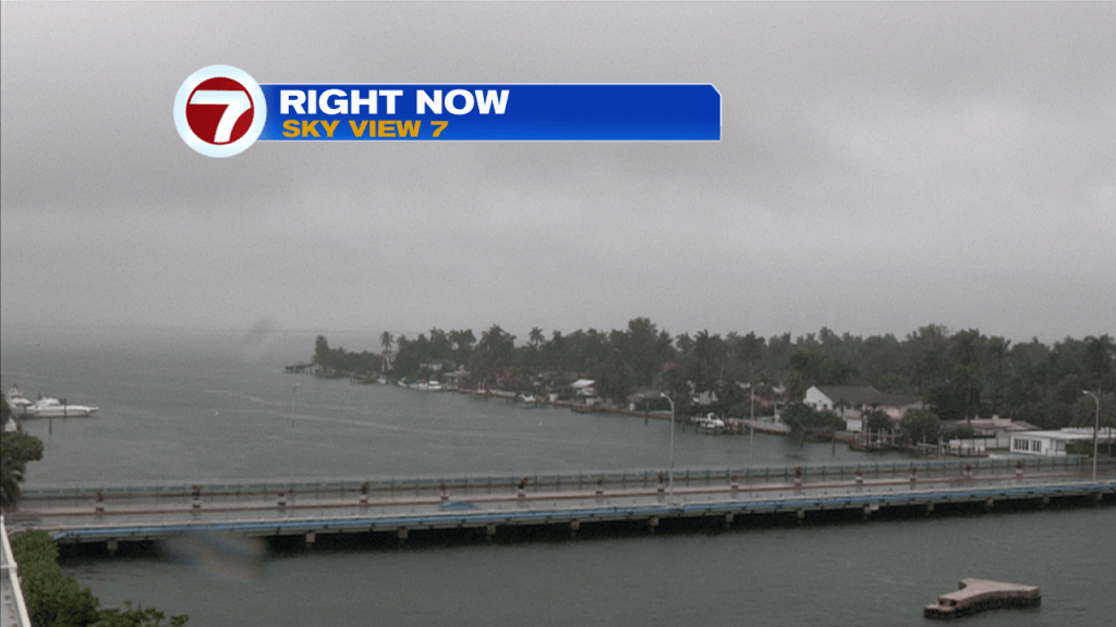
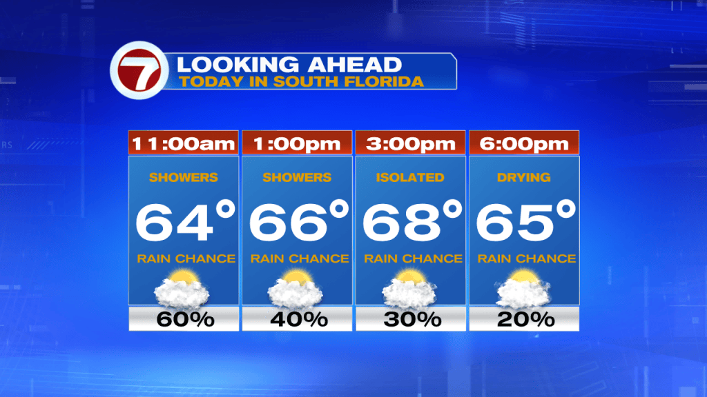
The latter part of the weekend is here and today promises to bring several changes our way. A front will be sliding south across our state and will be reaching us throughout the day. Ahead of it, rain and thunderstorms will linger through the early afternoon before finally clearing out this evening. Once the front comes through our temperatures will begin to cool as we head into the evening hours on Sunday. Fun Fact: our high temperature of 75 was actually reached at 1am. That means that our temperatures will remain cool through much of the day.
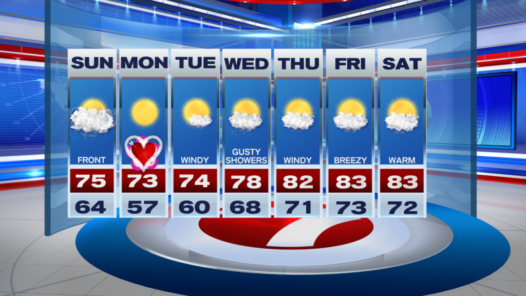
And while we are on topic, let’s talk about that cooling! Tonight into Monday morning our skies will clear while cooler and drier air moves into our area. Our overnight temperatures as we head into Monday morning (which happens to be Valentine’s Day) will return to the 50s across most of South Florida once again. And as if that weren’t cool enough, our afternoon high temperatures on Monday will struggle to even reach the mid 70s. A comfortably cool day is expected on Tuesday with widespread 50s and low 60s to start and then mid to upper 70s during the afternoon. We should remain dry during this time . However moisture should begin to increase by the middle of the work week while a few showers return to the forecast and wind speeds increase significantly. By the end of the work week our afternoon high temperatures will once again reach the mid to lower 80s.
Have a great day!
Erika Delgado
Meteorologist
WSVN Channel 7 News
Copyright 2026 Sunbeam Television Corp. All rights reserved. This material may not be published, broadcast, rewritten or redistributed.