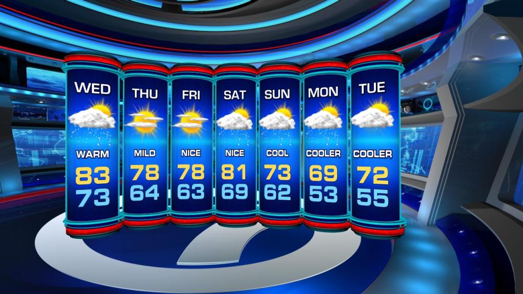
As a cold front makes a beeline for the Florida Straits, we will remain on the warm side with more daytime highs in the 80s on Wednesday. We are not talking record heat, but unseasonably toasty.

Additionally, we can expect scattered showers and isolated afternoon/evening thunderstorms for the middle of the week. The nighttime will bring stray showers as clouds gradually start to clear out.
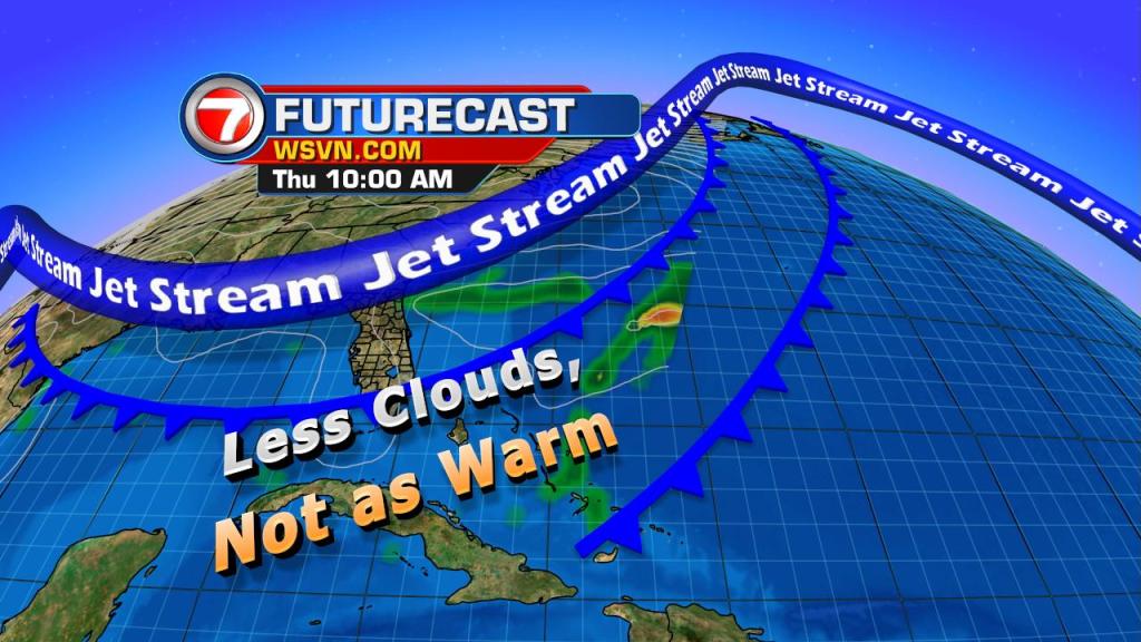
Models suggest overcast skies and shower chances will cease by daybreak on Thursday. Mostly sunny skies and near seasonal temps will be in the forecast for Thursday and Friday. Translating to morning temps in the mid 60s and daytime highs in the upper 70s.
Yet another cold front will close in on South Florida. This will bring scattered showers and isolated PM storms to the forecast by Saturday.
In wake of this storm system, cooler temps will return by Sunday and take us into the start of the work week. Overnight lows will return to the 50s with daytime highs peaking below the norm in the low to mid 70s.
Copyright 2024 Sunbeam Television Corp. All rights reserved. This material may not be published, broadcast, rewritten or redistributed.