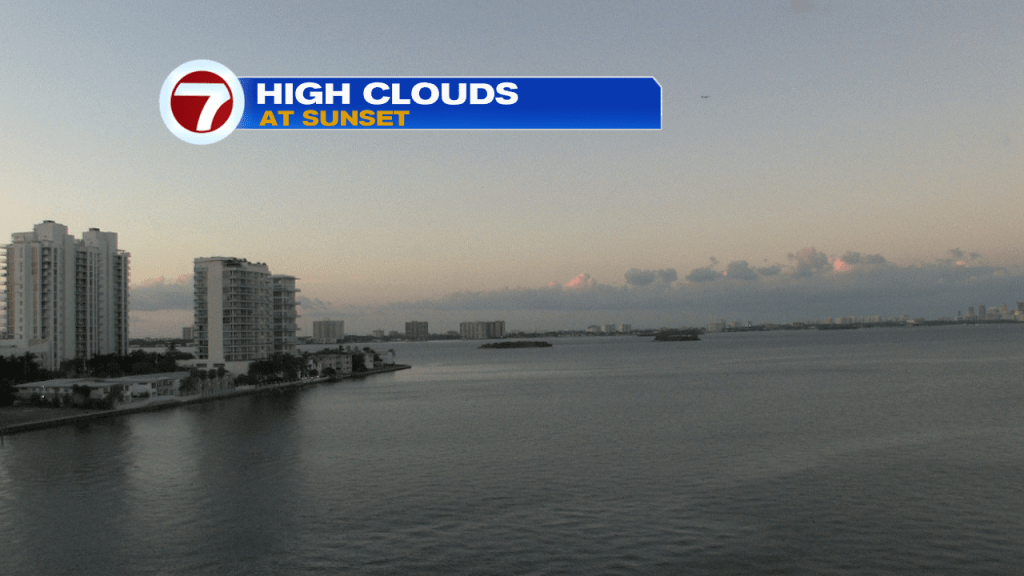
Summer-like heat is back and rain chances are building again. It’s like we’re going backward, instead of forward! Here’s a look along Biscayne Bay (late Wednesday). While still dry, there’s a layer of high clouds along with distant haze.
The 90-degree heat returned to the southeast coast. Miami even hit 92-degrees, making for the hottest reading of the month, to this point.

As Thursday begins, we’re in a holding pattern. High pressure has retreated and a weakening front is sagging closer to south Florida.

There’s some potential for developing, patchy fog. Low visibility could be an issue for mostly inland locations (according to the Fog Tracker) from 5 am through about 8:30 am Thursday morning.

A steamy southerly flow will veer out of the west Thursday afternoon, providing another hot weather day. As the front settles south, expect a few downpours to break out across favored areas (mainly along the SE coast).

On Friday, even more numerous rain bands could head our way, at virtually anytime. Be prepared for some “sudden soakings”.

Meanwhile, we’re keeping tabs on a low pressure system in the southern Gulf of Mexico. According to the National Hurricane Center, is has a medium (60%) development chance as it moves into the central Gulf. Most forecast models take the system toward the central Gulf states or the Florida panhandle region. Regardless of development, gusty winds and rain will surge northward.
