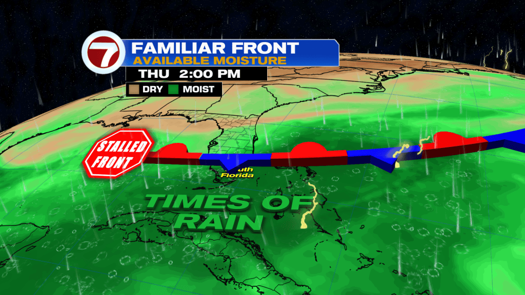
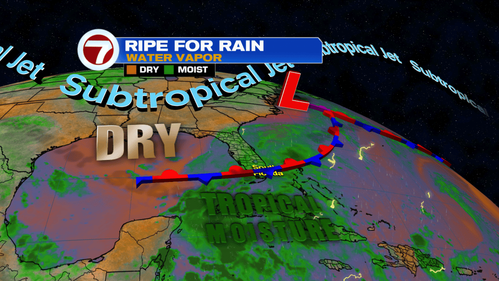
Hopefully you enjoyed the sunshine and relatively quiet conditions at the start of this week because tropical moisture is back and so are the rain and clouds.
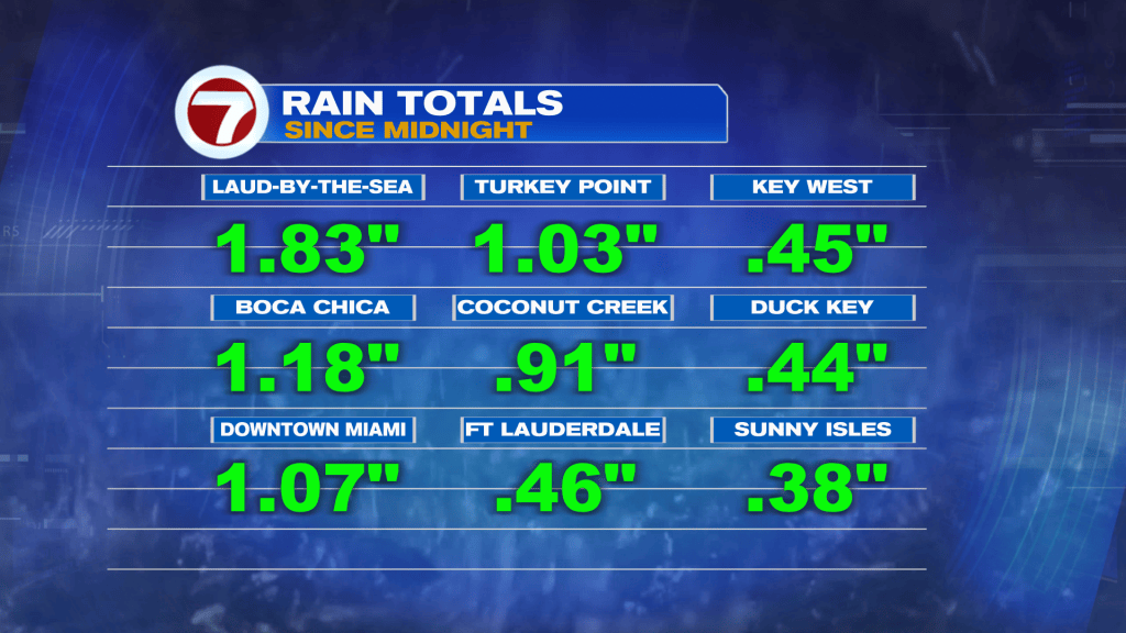
Rainfall wasn’t significant for most locations this Wednesday, thankfully, with most locations measuring less than half an inch.
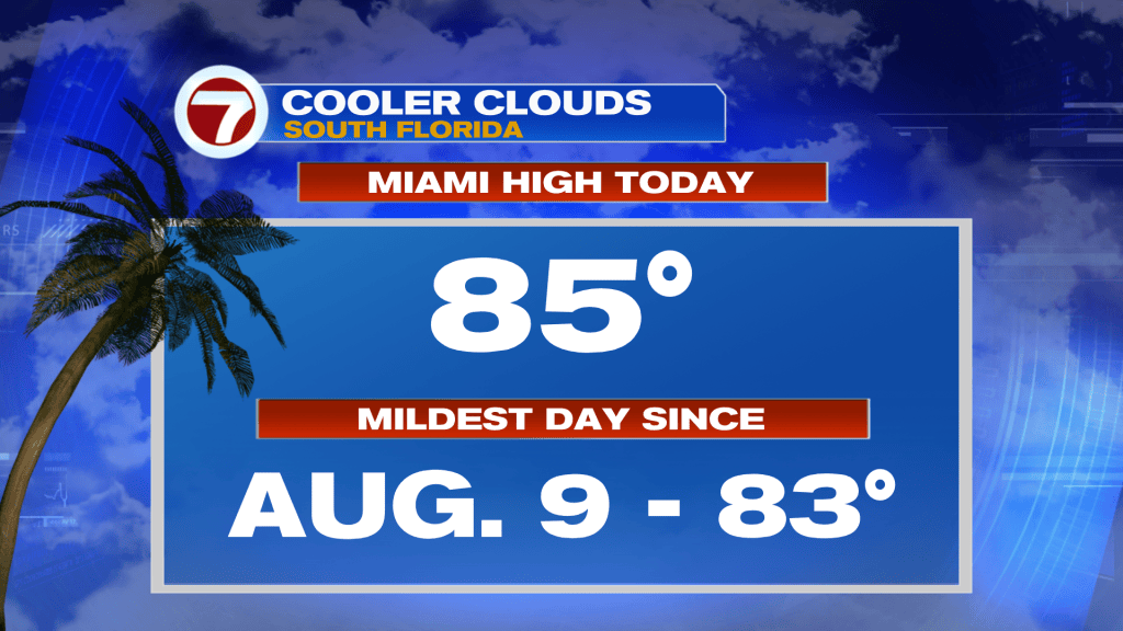
Due to the overcast skies, Miami only reached a high of 85F. This made it the mildest day in more than a month!
Another mild day is ahead tomorrow with rain and storms likely again at times. Before we get there, we’ll stay unsettled tonight. Clouds will remain in place as moisture continues to surge in from the south and east, and some of these clouds will produce scattered, hit-or-miss, showers and storms.
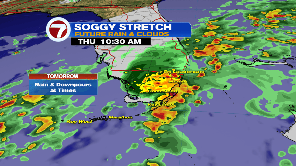
On Thursday, expect numerous to widespread rain with embedded downpours, especially during the middle of the day. Given the saturated grounds from recent rainfall, isolated areas of flooding will be a concern.
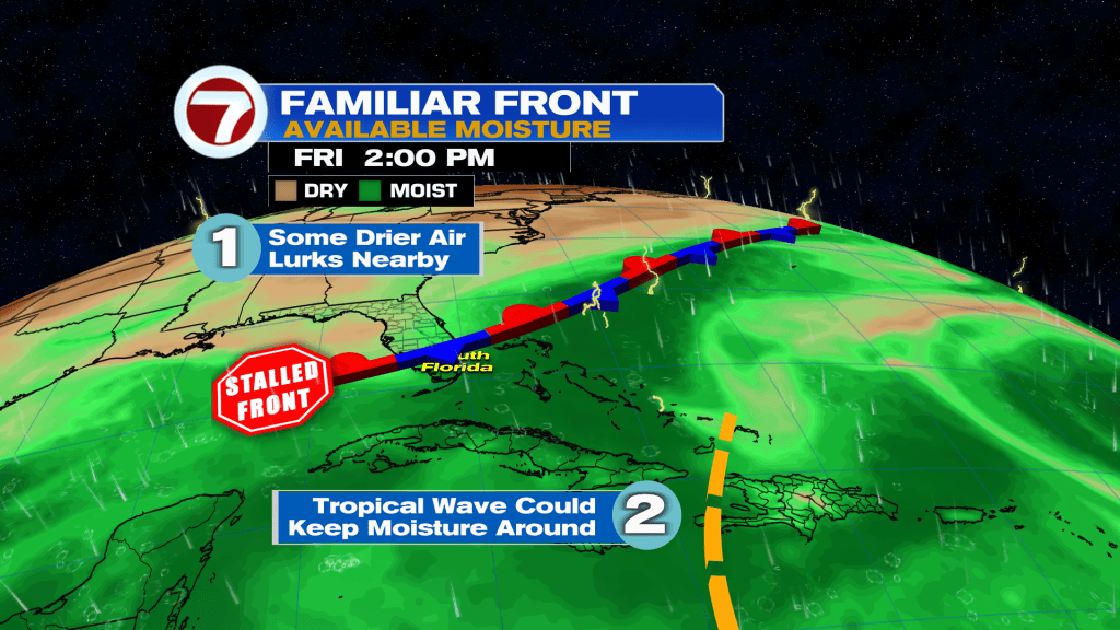
Thankfully, by Friday and into at least the start of the weekend, some drier air will try to sneak in, leading to more sunshine and fewer showers and storms. This weekend will still consist of scattered rain activity but it won’t be a washout.
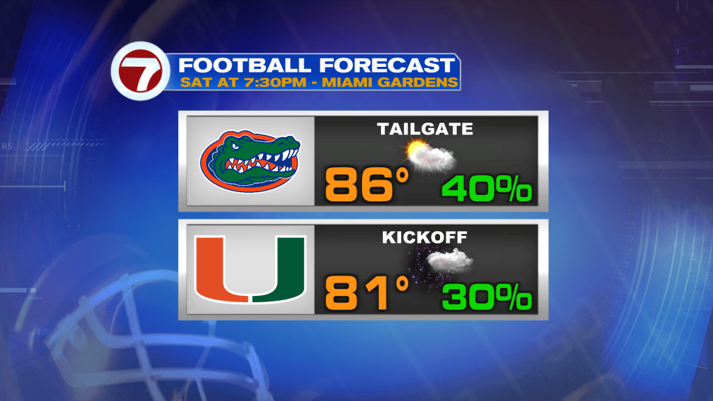
Therefore, it should be fine for the Florida Gators-Miami Hurricanes football game Saturday evening at Hard Rock Stadium, which you can watch on ABC Miami Channel 18.
Tropical update
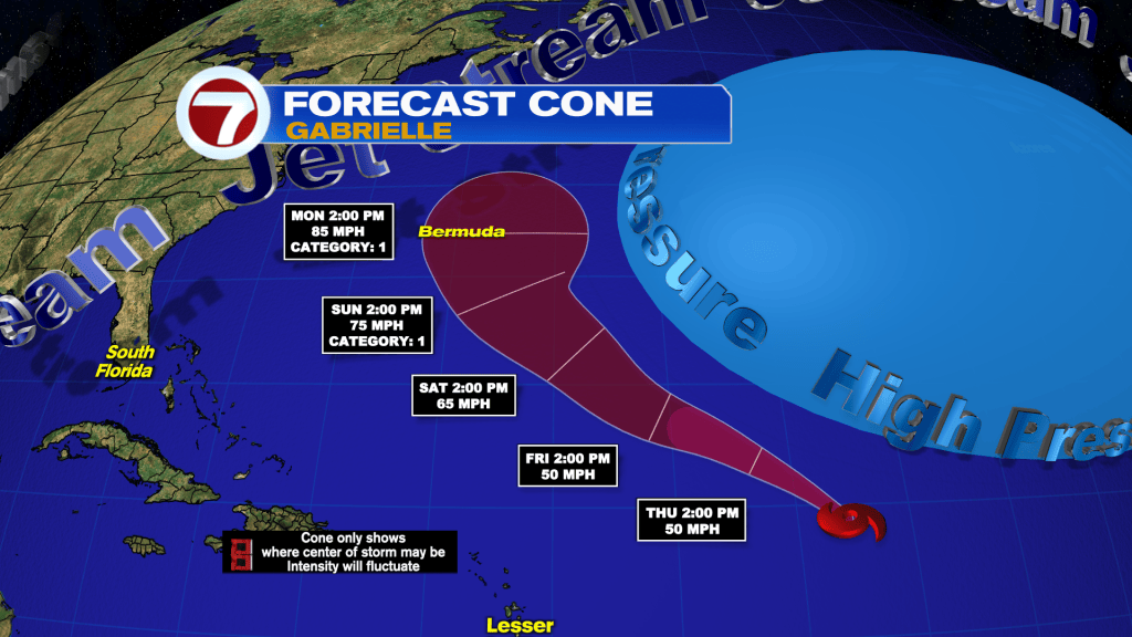
Tropical Storm Gabrielle formed late Wednesday morning after organizing into a tropical depression shortly before over the open waters of the central Atlantic Ocean. Thankfully, Gabrielle will not be a land concern over the next several days. By early next week, Bermuda should monitor for potential impacts, however, as it curves safely east away from the US.
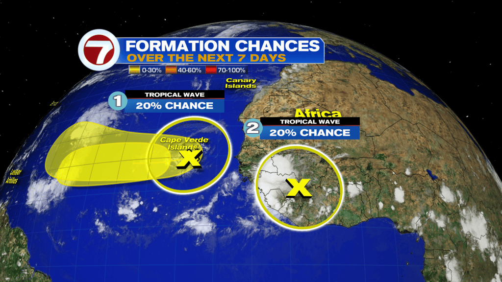
On Gabrielle’s heels, there are two other tropical waves closer to or over Africa, both of which that have a low, 20% chance of forming within the next 7 days as they travel west.