

We have low clouds producing a mist, but the radar is not picking up on rain. In fact, the deepest moisture/rain is located well to our East around the Bahamas and Atlantic waters with the same system that produced relentless rain on Sunday.
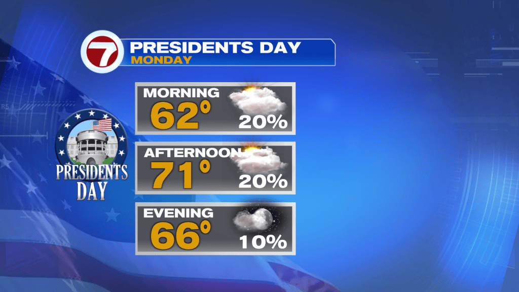
Skies will gradually clear out today with a brisk (gusty) wind out of the Northwest as drier air builds into the region. Therefore, temperatures will range in the upper 60’s to low 70’s.

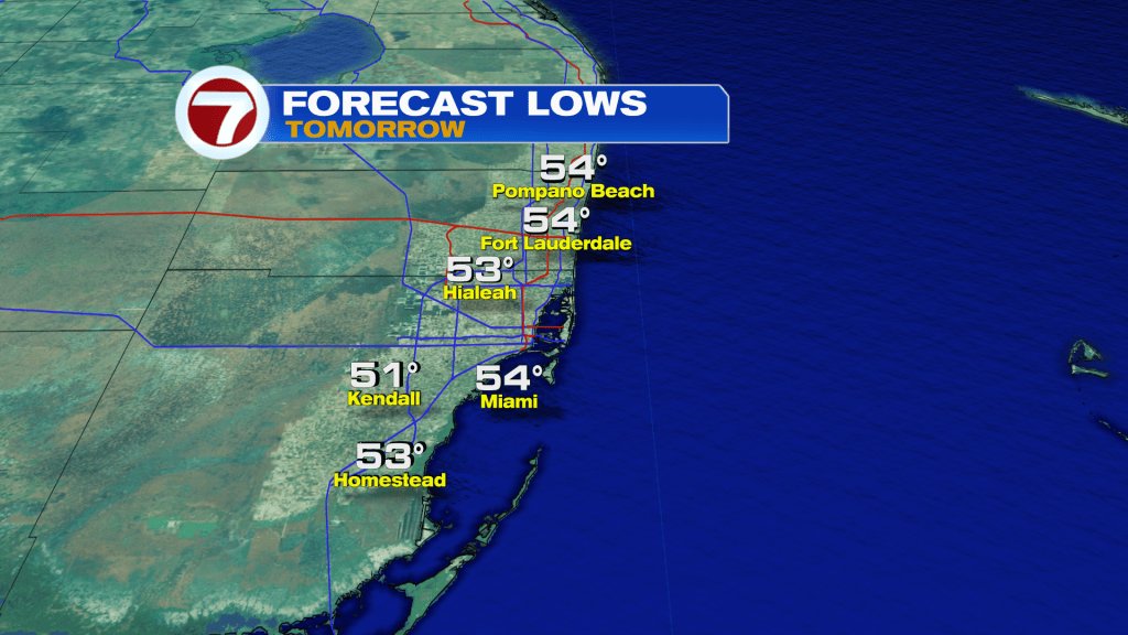
Overnight temperatures are set to drop into the 50’s.
A Gale Warning will remain in effect for our offshore waters through Tuesday 1am.
The week will feature cool nights/mornings and pleasant afternoons through Friday.
Have a wonderful day South Florida and make it a safe one!
Vivian Gonzalez
Meteorologist, AMS Certified
WSVN Channel 7