

The forecast looks not as wet for Tuesday, but as another front settles across the Southeast United States, deeper moisture with Southwest winds will be in place once again. Models calling for typical rainy season chances through the upcoming long weekend. Unfortunately activity will move from West to East, making it seem wetter overall.
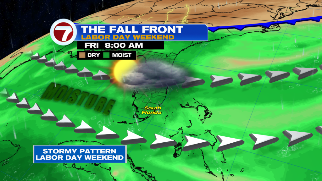
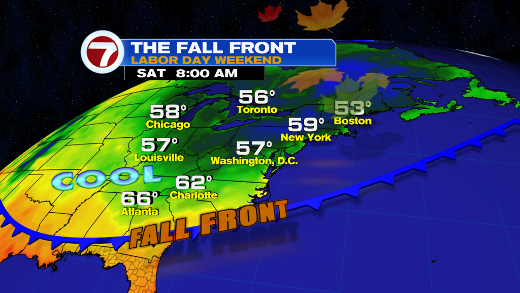
This front stalling to our North will bring the first taste of Fall for parts of the Northeast. Forecast lows will be in the 50’s to start Saturday.
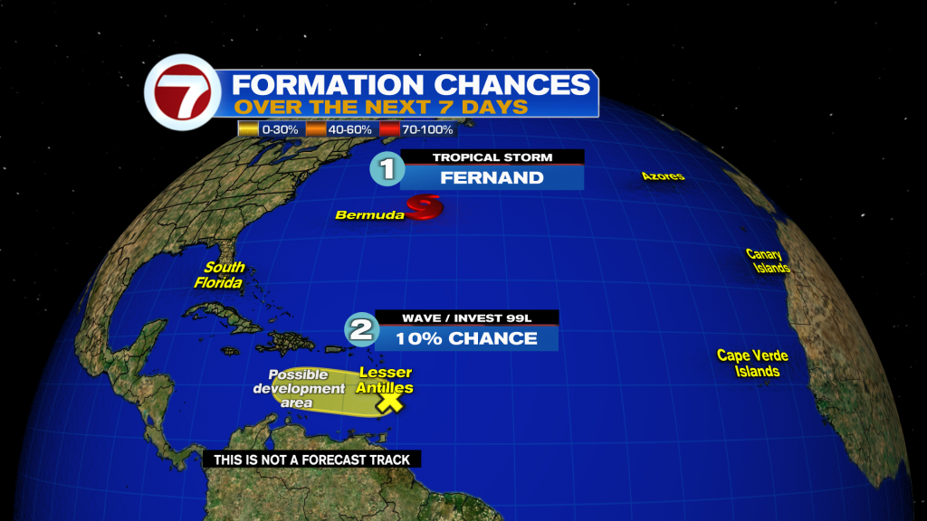
Today in the Tropics
- 1. Tropical Storm Fernand is forecast to weaken by tonight. It will likely lose tropical characteristics by Wednesday over the waters of the subtropical Central Atlantic.
- 2. Shower activity has decreased with INVEST 99L. It is producing squally weather across the Lesser Antilles. It will move into less favorable conditions for development in the Caribbean.
Have a wonderful day South Florida and make it a safe one!
Vivian Gonzalez
Meteorological, AMS Certified
WSVN Channel 7