Happy Monday, South Florida!
Hopefully everyone was able to enjoy the weekend despite the rain and thunderstorms we experienced on Sunday. The start of the weekend was picturesque and it looks like after Sunday’s Front, conditions are slowly transitioning back to beautiful as we saw on Saturday. After a much warmer start on Sunday morning, temperatures were already cooler this morning as the cooler and drier air continues to filter in across our area later today.
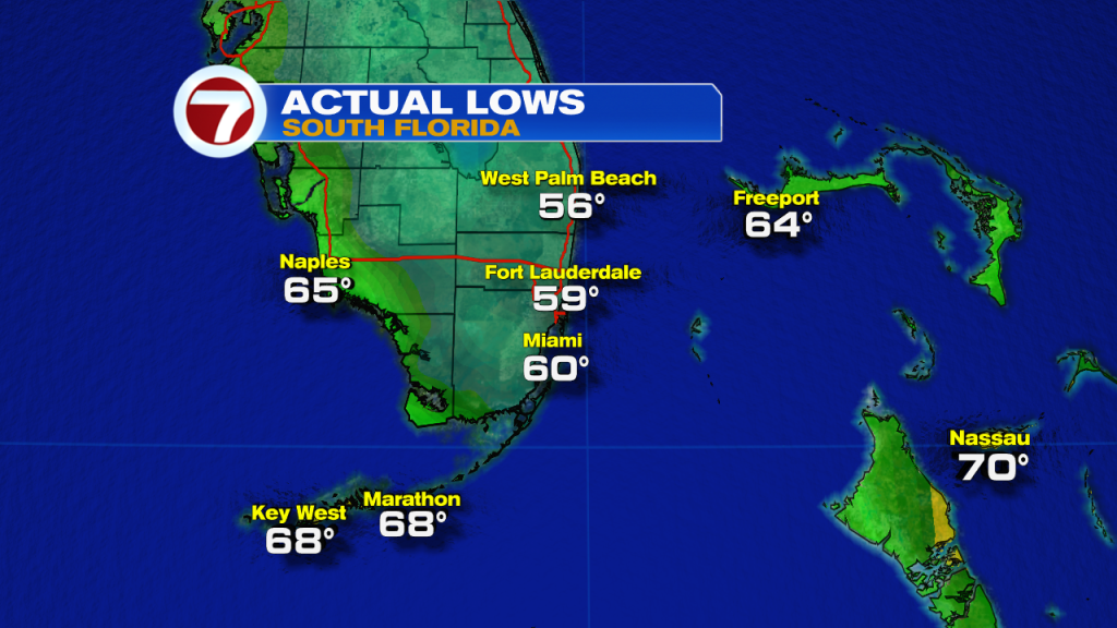
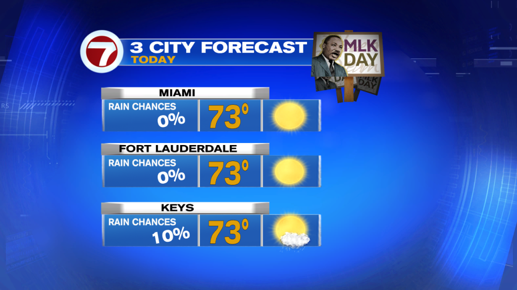
The forecast for today (which happens to be MLK day) will be a nice one as cooler and drier air continue to filter in. After starting off in the 50s and low 60s, our afternoon high temperatures will remain in the mid to lower 70s today. Other than a stray shower across the FL Keys, rain will remain out of the forecast for our mainland locations as we all enjoy low humidity and plenty of sunshine all day long. Looking ahead, temperatures will continue to drop across south Florida.
The majority of the work week looks to be cool with afternoon high temperatures remaining in the 70s. As of now, Tuesday looks to be the coolest day of the week as our morning temperatures drop into the upper 40s and low 50s while our afternoon high temperatures struggle to even hit the lower 70s. It looks like our morning temperatures will continue to drop into the 50s at least through the first half of the workweek while our afternoon high temperatures remain in the 70s all week. Milder temperatures do return by the end of the work week as another front begins to approach South Florida. So if you like the cooler weather, then it looks like you will enjoy this week!

Have a great week!
Erika Delgado
Meteorologist
WSVN Channel 7 News
Copyright 2024 Sunbeam Television Corp. All rights reserved. This material may not be published, broadcast, rewritten or redistributed.