Beautiful weather is back. We’ve reverted back to drier conditions with an ocean breeze. Here’s a look at the Miami sky at sunset, Monday evening.

Much of Florida is also basking in quiet and favorable weather. The exception? Around the Panhandle there’s been a recent push of clouds and rain showers.

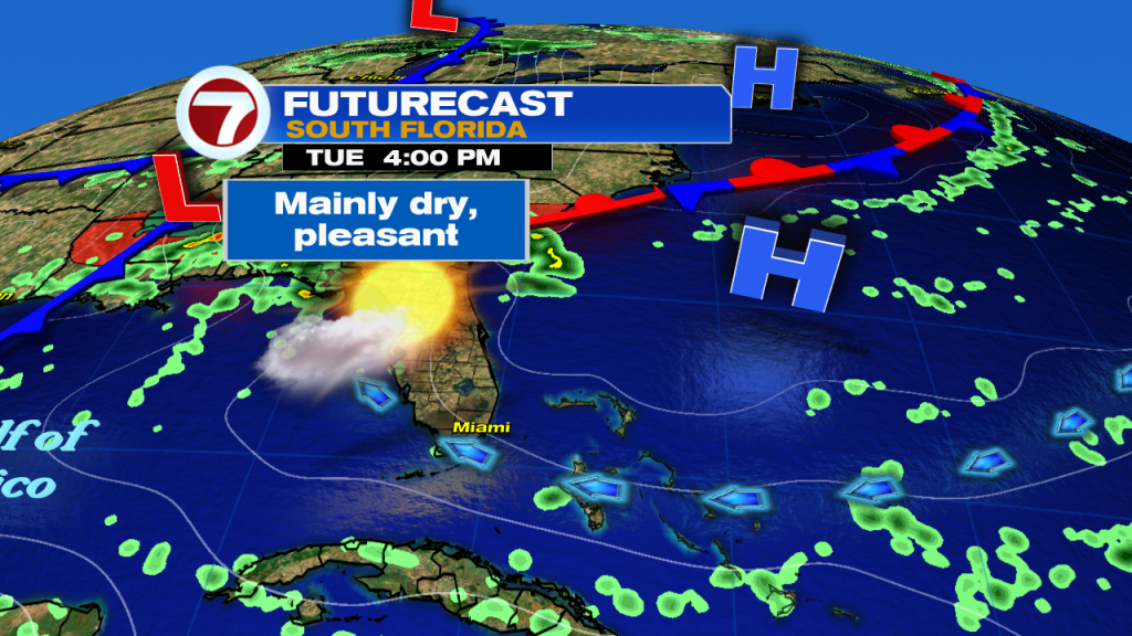
The Tuesday weather map shows high pressure still controlling our weather. It’s centered northeast of the Bahamas in the Atlantic. As the high weakens, the onshore breeze will get lighter.
The next weather change arrives midweek. It’s the result of winds turning out of the tropical south. You’ll likely detect the difference as humidity rises and temperatures jump a few notches. Parts of south Florida will likely have highs in the lower 90’s on Wednesday afternoon.

The “Florida Front” is expected to slow down, weaken, and eventually stall. At this point, we think the boundary reaches the southern tip of Florida before becoming stationary. Regardless, there’s a high potential for it to generate scattered showers and possible storms. If it remains intact into the weekend, it could make for more unsettled and rather gloomy days.

Interestingly, the hotter and wetter times will be seen as out of season. Temperatures will resemble summer, and ongoing rainy weather comes just as our south Florida Dry Season begins (October 15).