We’ll be riding the wave of cool lows across South Florida for one more morning before we warm up by the weekend.
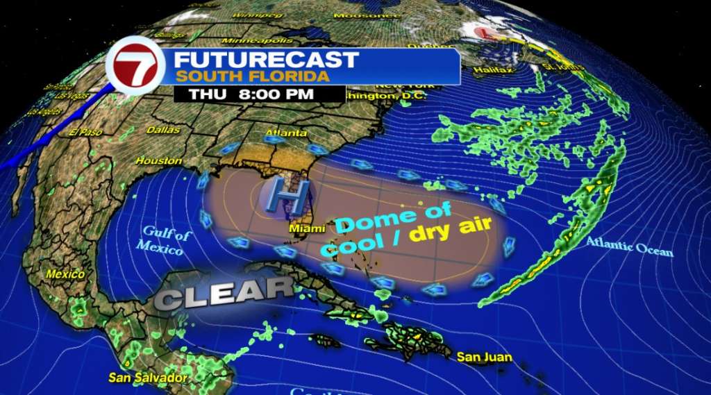
High pressure over the Gulf of Mexico still has a stronghold on the Sunshine State. This will keep us mostly dry over the next few days as we continue to bask in the sunshine.
As we cruise into the weekend, high pressure will slide over the Western Atlantic as a frontal boundary moves over the southern states. As a result, this will bring easterly winds back to South Florida. This wind flow will tap back into warm/humid air as daytime highs go from seasonal, highs in the low 80s, on Saturday to above seasonal through the first half of next week.

Copyright 2024 Sunbeam Television Corp. All rights reserved. This material may not be published, broadcast, rewritten or redistributed.