Expect the unexpected! On Tuesday, an area of clouds and rain was inching and brushing very close to home over northeast Florida. Although storms and rain were in the forecast for parts of Florida, its rapid intensification sure wasn’t! The National Hurricane Center then crossed off the next name on the list late Tuesday night.
However, Julia’s journey is no longer a promising one. It is now expected to weaken later on Wednesday into a depression. We’ll soon say “bye, bye Julia! and let this not happen again..”

Your Storm Station is also tracking “Ian” over the central Atlantic and Tropical Depression #12 near the Cape Verde Islands. While “Ian” poses no threat to land, T.D. #12 still has plenty of time to get its act together. Make sure to stay tuned for the very latest on the Tropics.

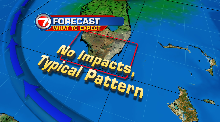
Here in south Florida, conditions will be same ol’ same ol’. A typical pattern includes seasonal rain chances with morning showers and inland storms during the afternoon.
Meteorologist Natacha Galindo
Weather Producer
WSVN, Channel 7