Wednesday through the 4th of July should be on the steamy side. Typical temps hover between 89° & 90°, but we should be in the low to mid 90s. On Tuesday Miami set a record with 98°! The previous all-time high for the date was 95° from 1998. As we go into the weekend, the highs should remain just a bit above average.

What are the chances for rain?

What we normally see this time of year is between 30% – 40%. The fourth is looking mostly dry. Friday may see a few storms start by the coast and drift to the western suburbs by afternoon, otherwise we should stay with our typical summer, rainy season pattern.
Traveling the State?

If your holiday travels take you the theme parks in Central Florida, here too, the summer pattern will stay in place. Expect highs in the low to mid 90s with a few afternoon storms.
West Coast
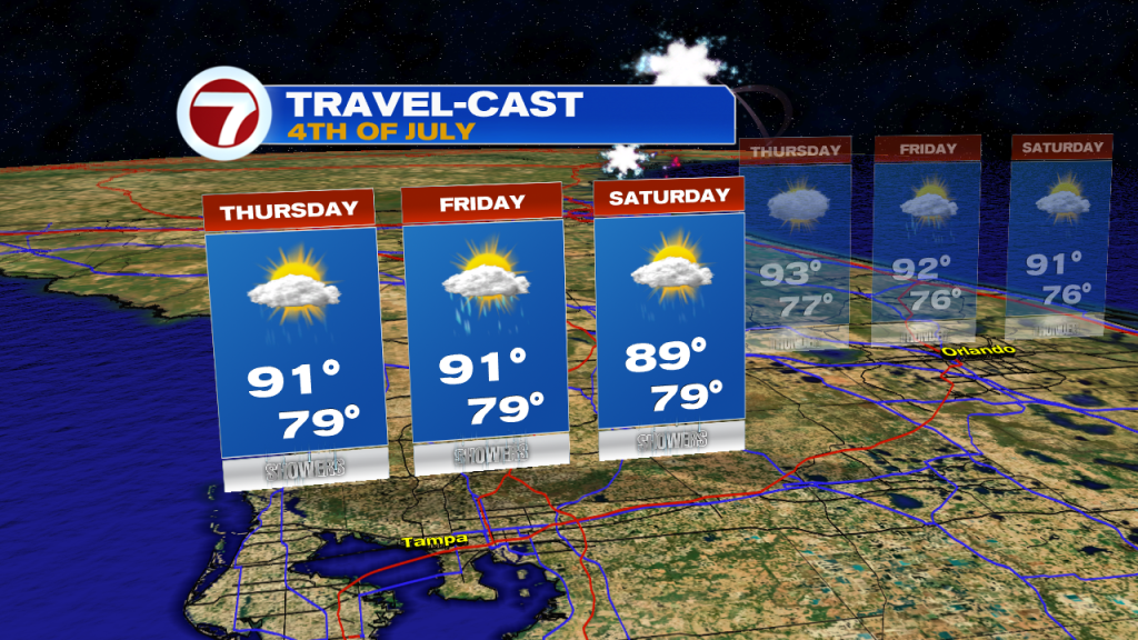
Tampa will see a few afternoon cooling showers / storms everyday. Highs will hover around 90°.
SW Florida
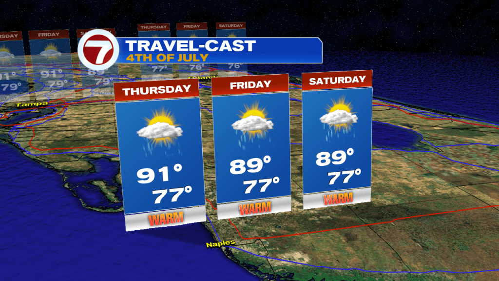
The Naples area is looking good. Highs around 90° each day with a couple of afternoon downpours.
Florida Keys

It’s the place to be! The 4th is looking sunny and mostly dry. Through the weekend you may get a storm or two. No washouts expected.
Have a happy and safe holiday. Be careful with those fireworks!