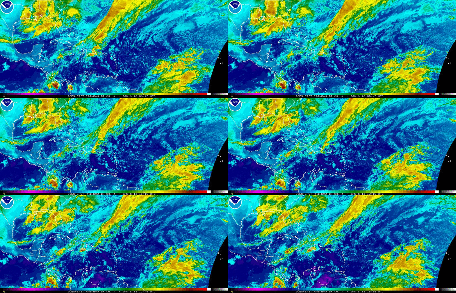
Local Weather: South Florida a good storm chance is set to stick around through Thursday. The reason for the added moisture in the air is due to a weak front. This front is parked over north Florida trapping deep tropical moisture from the Gulf of Mexico and Caribbean Sea over us. Unfortunately with the daytime heat, we will see some strong storms develop. The storms will be capable of producing heavy rain, gusty winds and dangerous lightning. By Friday, we should start to see fewer showers and storms.
Have the umbrellas on hand. Get your complete forecast on Today in Florida. Now underway… pic.twitter.com/k7QNeN0VQ1
— Vivian Gonzalez (@VivianGonzalez7) June 27, 2017
Tropical Update: A tropical wave currently over Africa is being monitored by The National Hurricane Center. They are suggesting that it has a low chance to form once it moves into the far eastern Atlantic Ocean by Wednesday. Over the weekend, conditions will become less favorable for development. It has a low chance to form of 20% in the next 5 days.

Have a wonderful day South Florida and make it a safe one!
Vivian Gonzalez
Meteorologist, AMS
WSVN Channel 7
