South Florida we are watching a front on the move. This one is responsible for bringing a Fall-like temperatures to much of the United States today, but will not bring us a cooler air. In fact, models are showing that it will bring down our temperatures to near normal. This front is expected to arrive later today and hang around leaving a chance of showers in the forecast. Behind the front, high pressure will build and so will the breeze. Most computer models are showing that a strong onshore flow will create trouble for swimmers and boaters through the next few days. Also, minor coastal flooding will be possible during times of high tide due to a new moon phase.
Look for breezy showers and normal temperatures (overnight lows in the low 70’s and daytime highs in the middle 80’s) through the weekend. Rain chance will be at about a 50%.
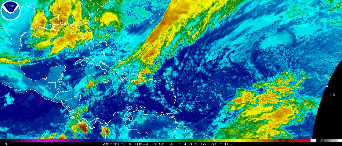
Have your umbrellas South Florida. Front arrives later today. #wsvn pic.twitter.com/rZcLC8TGtt
— Vivian Gonzalez (@VivianGonzalez7) October 17, 2017
Tropical Update: All is quiet.
Vivian Gonzalez
Meteorologist, AMS Certified
WSVN Channel 7