Another quiet day is expected across South Florida. Dry air continues to filter through with only a small chance of a quick shower on the breeze. By Thursday, the winds will start to weaken, improving conditions out on the waters for swimmers and boaters.
Computer models are insisting that a front currently over the central United States will approach northern Florida on Friday. Late in the day clouds with a shower chance return through Saturday. Once the front clears, it will be mostly dry and feel cool-ish in the mornings.
On Sunday, daylight saving ends as we Fall back. Therefore, don’t forget to set the clocks back one hour before you go to bed on Saturday night. The best news of all is that we will gain an extra hour of sleep!
Cooler weekend? You read right! We're following a front that is set to cross through this weekend. @wsvn pic.twitter.com/zlZjuLoczY
— Vivian Gonzalez (@VivianGonzalez7) November 2, 2016
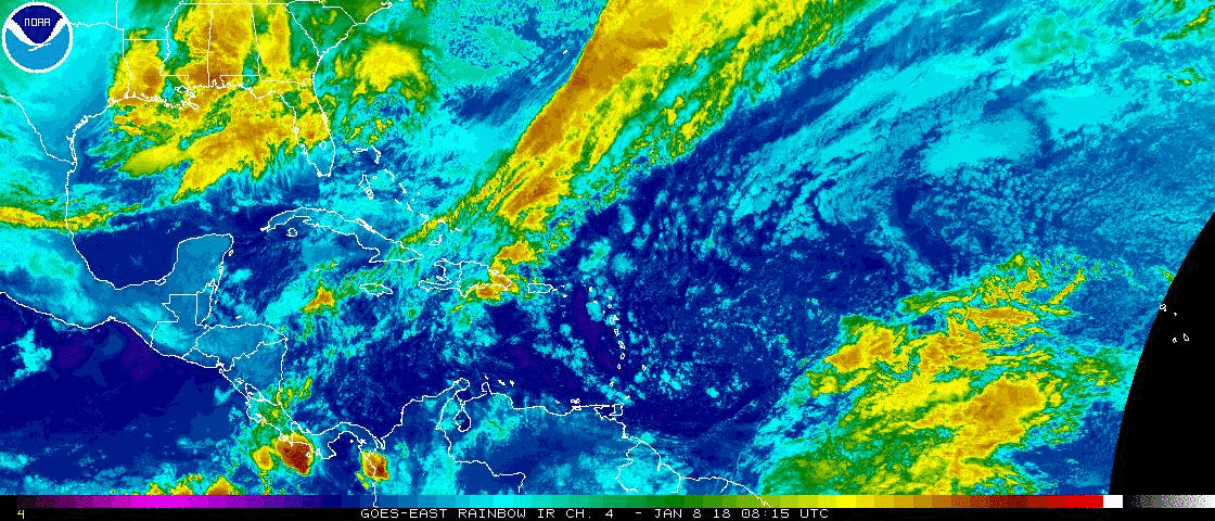
Tropical Update: An area of disorganized clouds and showers is located a few hundred miles north-northeast of the Lesser Antilles. It is expected to move into the northern Atlantic over the weekend where it could acquire subtropical characteristics. For now, it is expected to remain no threat to land. This area has a low chance to form during the next 5 days.
Have a great day South Florida and make it a safe one!
Vivian Gonzalez
Meteorologist, AMS Certified
WSVN Channel 7