Happy Sunday, South Florida!
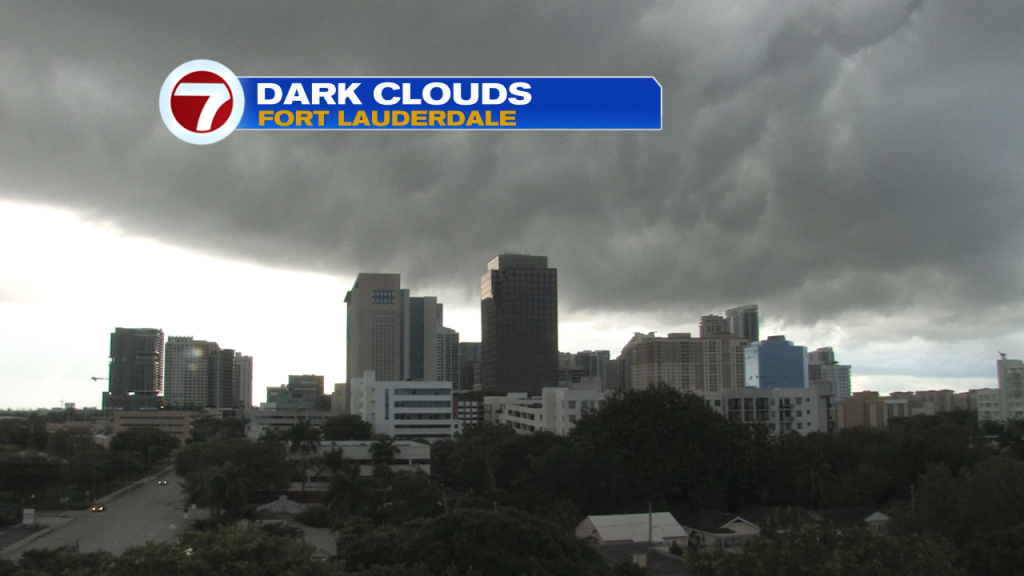
Hopefully everyone had a nice start to the weekend. Steamy temperatures on Saturday gave way to a few afternoon thunderstorms especially across our northern areas. The weather pattern is slowly transitioning and we can already feel and see the difference. And today will be no different. Today is the official start of the 2022 rainy season here in South Florida and it seem fitting as we woke up to showers and thunderstorms across our area while temperatures this morning were on the warmer side in the mid to upper 70s .
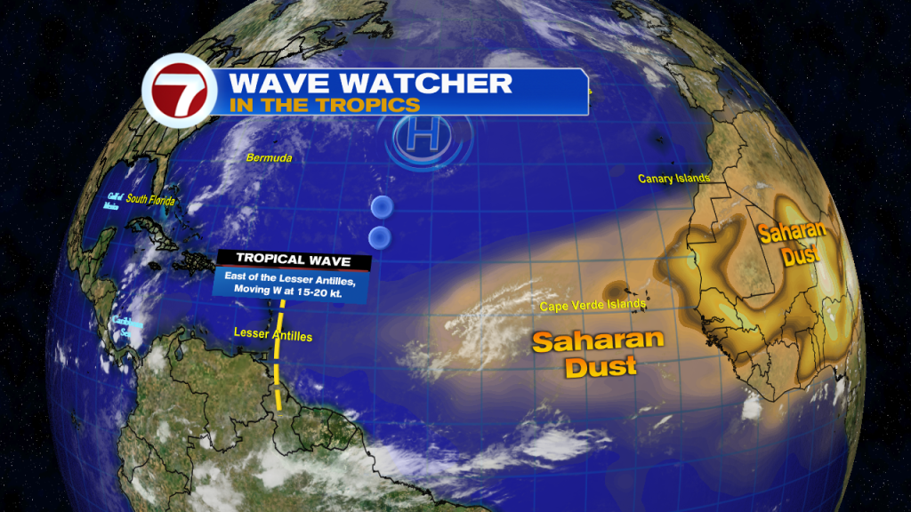
Apart from being the start of the rainy season , today (May 15th) also marks the first day of the routine issuance of the National Hurricane Center‘s Atlantic basin tropical weather outlook. These tropical weather outlooks are issued several times a day and lasts through the entirety of hurricane season as the NHC continually points out areas of any disturbed weather and the potential for tropical cyclone formation. For now, we find only one tropical wave approaching the Lesser Antilles along with plenty of Saharan dust coming off of Africa.
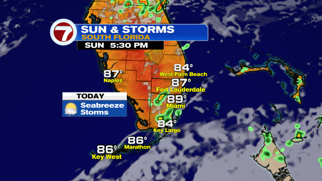
Today has already been different from Saturday’s weather setup as we started the day off with rain and thunderstorms. A few seabreeze-driven thunderstorms will be possible today but not everyone will see thunderstorms. So let’s call today’s storm chance to be ‘hit or miss’. Similar to Saturday, another steamy afternoon is expected with high temperatures nearing 90° once again today. Also worth mentioning, astronomical tides are running higher than normal (due to the return of King Tides) so minor saltwater flooding may be possible across low lying areas of coastal Miami-Dade, Coastal Broward and all of the FL Keys during times of high tide.
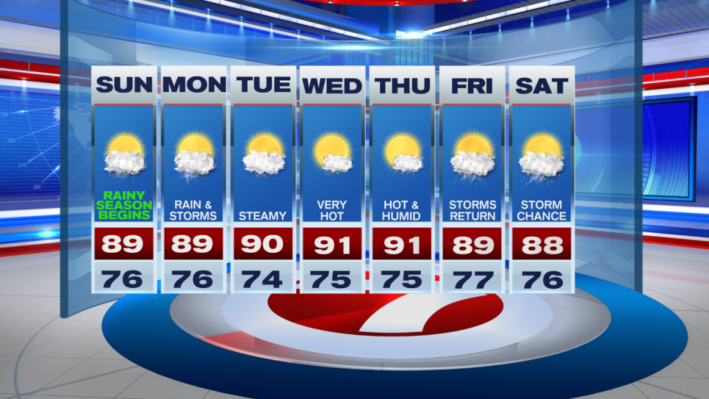
Looking ahead, it only gets warmer from there. With winds beginning to veer out of the south and then out of the Southwest, this will have a direct impact on our afternoon high temperatures. So through the start of the work week (and pretty much the entire week), temperatures will be reaching into the upper 80s and lower 90s across many South Florida locations. And even though temperatures will be above average each day, no record temperatures are expected to be met. And different from this weekend, the upper level low will already be out of our area so we can expect fewer thunderstorms in the forecast by mid-week. However, as we fast forward to the end of the work week, we can once again expect scattered showers and thunderstorms in the forecast.
Have a wonderful week ahead!
Erika Delgado
Meteorologist
WSVN Channel 7 News
Copyright 2024 Sunbeam Television Corp. All rights reserved. This material may not be published, broadcast, rewritten or redistributed.