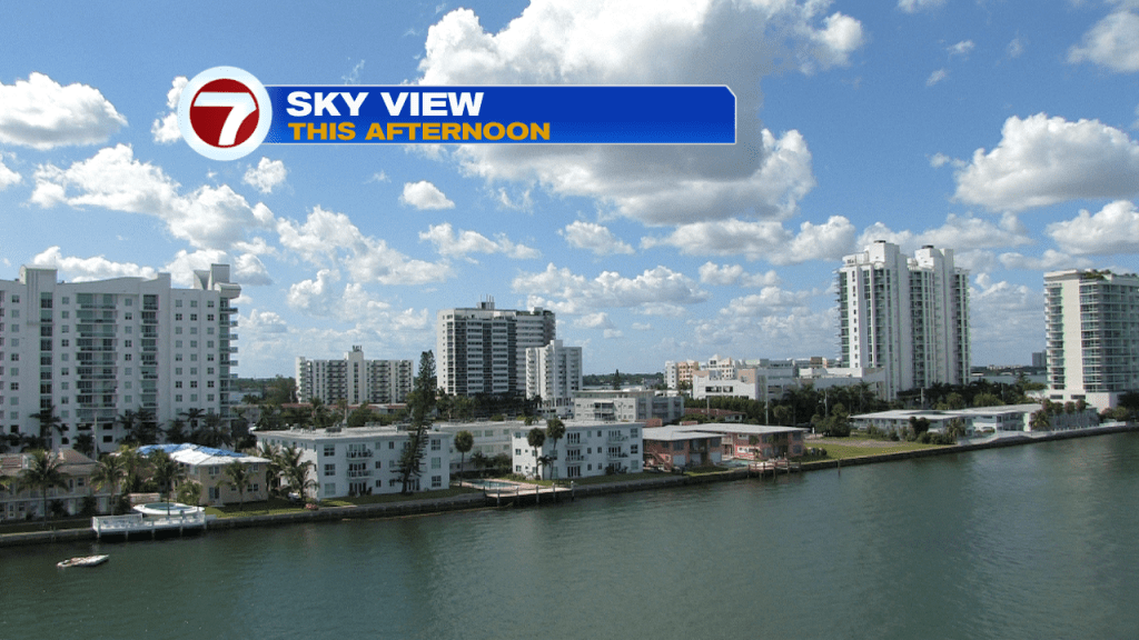
What a fine start to the work week! South Florida skies were brighter, and even drier, than we’ve seen recently.
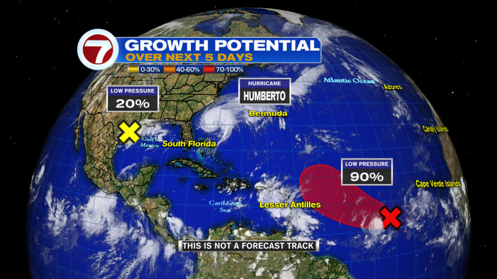
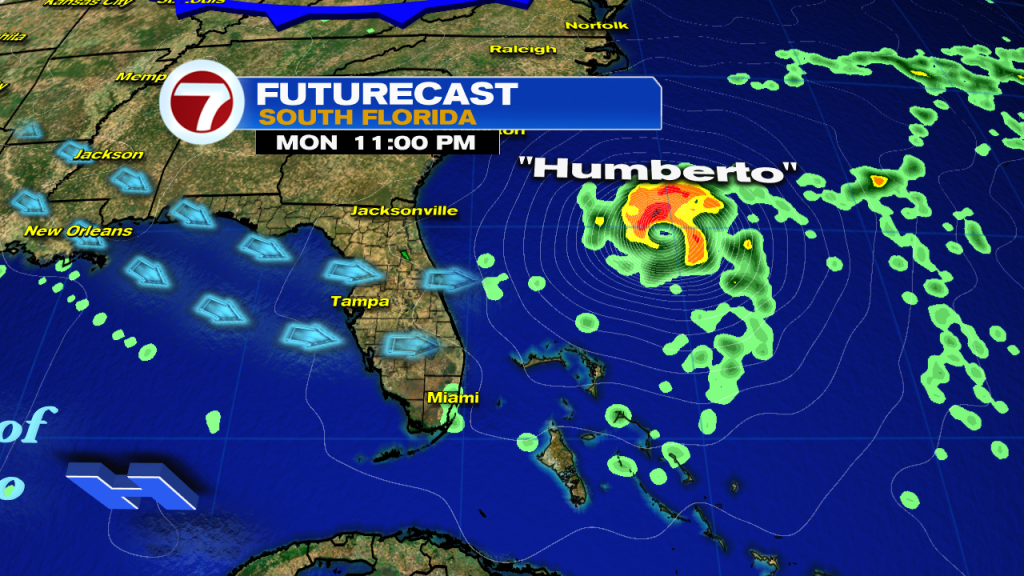
On the weather map we see Hurricane Humberto (several hundred miles east of Florida). It will continue to track far away from the United States. The only land in its journey this week could be the island of Bermuda.
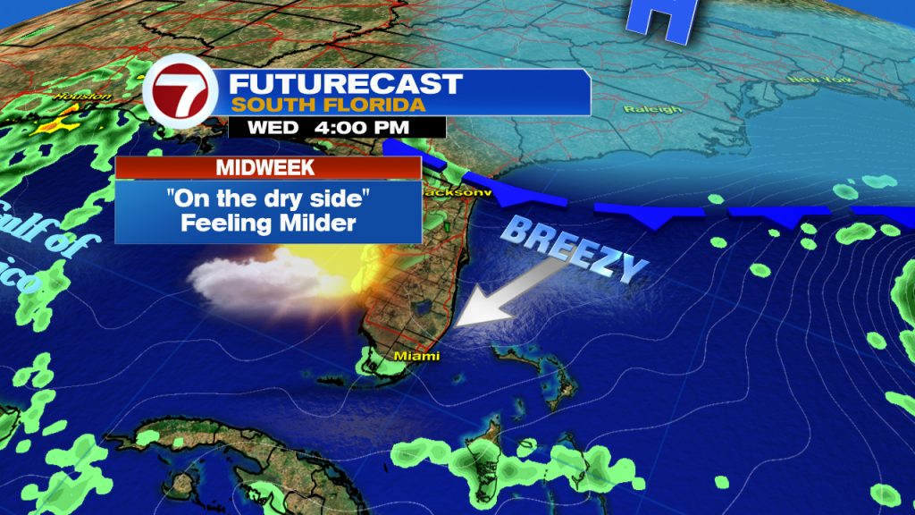
Meanwhile, the stage is set for a “terrific Tuesday” across our area. With a wind flow arriving from the north, we’ll stay mostly dry with lower humidity levels.
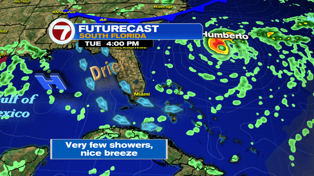
The only change heading into the middle of the week includes a stronger breeze. That will add to the comfort level but create some marine hazards like higher surf and rip currents.
We’re still in the south Florida Rainy Season, and it lasts for another month, but you wouldn’t necessarily know it in the short term. Local rain chances will stay quite low until the end of the week.

In the tropics there are multiple areas to watch. As mentioned earlier, Humberto is only a threat to Bermuda. In the western Gulf of Mexico, a small disturbance is almost upon the Texas coastline. The main area to follow is more than 1000 miles east of the Lesser Antilles. It will likely become a depression or storm over the next couple of days, moving to the northwest.