

Happy Friday, South Florida!
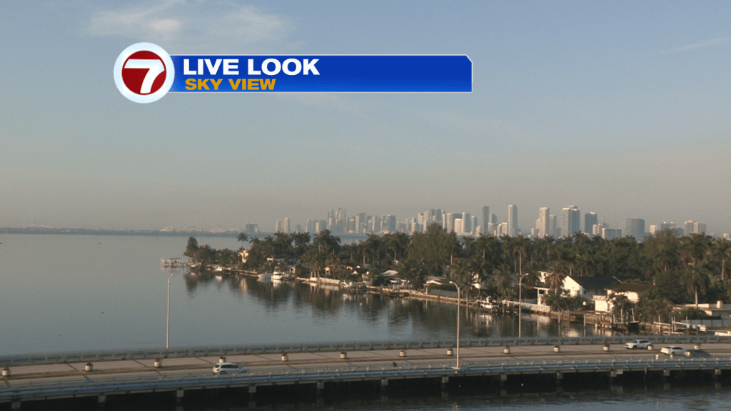
Hopefully everyone has been able to find a way to deal with the flooding rain that South Florida has been experiencing this entire week. A devastating nearly 26 inches of rain fell in Fort Lauderdale on Wednesday alone and then afternoon thunderstorms produced heavy rain on Thursday, unfortunately, over the same hard hit areas that received too much rain earlier in the week. Thankfully this morning South Florida did wake up to quiet conditions (as far as rain) but it felt very muggy and warm. Due to the residual moisture in the air, together with the light winds, patchy fog developed earlier this morning, which reduced visibility across many areas.
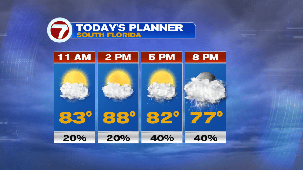
Today, South Florida can expect a similar setup of afternoon thunderstorms. The good news is that, similar to yesterday, the first half of the day looks mainly dry. So the dry time, together with temperatures in the upper 80s, will hopefully help to dry out some of the standing water still on our roadways. But with a south to southwest wind in place, it looks like any afternoon showers and thunderstorms that do develop will help push those storms towards the East Coast Later today. Worth mentioning is that the rain is not forecast to be as heavy or the coverage of rain to be as widespread as the last few days. The flood watch that had been issued earlier in the week was finally allowed to expire but a flood warning that replaced a flash flood warning from late last night was extended through mid-morning.
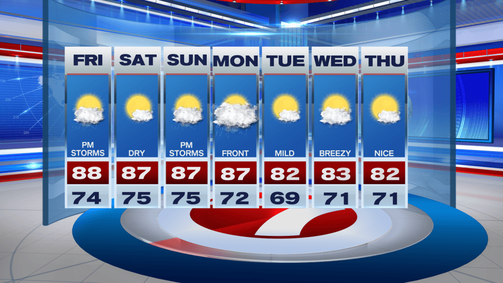
Looking ahead, drier air will begin to move in for the start of the weekend, which will finally provide South Florida with some brief rain relief through a big chunk of the day. More sunshine, lighter winds and lower rain chances means South Florida will also begin to warm up again and will finally help dry whatever standing water we still have on our roadways. Temperatures will be steamy this weekend. Expect upper 80s for the weekend while feels-like temperatures reach the lower 90s. But after a quiet start to the weekend, a change in the wind direction (ahead of our next front) should bring the return of afternoon thunderstorms for the second half of Sunday. The start of next week looks cloudy and wet as a front moves over our area, however, milder temperatures, stronger winds and drier conditions return to the forecast by midweek.
Have a wonderful weekend!
Erika Delgado
Meteorologist
WSVN Channel 7 News
Copyright 2026 Sunbeam Television Corp. All rights reserved. This material may not be published, broadcast, rewritten or redistributed.