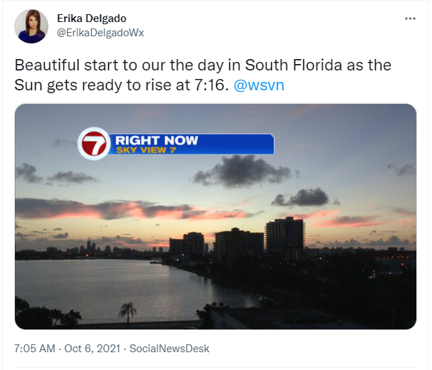
Happy Wednesday, South Florida!
Hopefully everyone had a great start to the week! South Florida has been enjoying nice weather lately with very few showers and near average temperatures in the upper 80s each afternoon. This morning started off rather quiet as well except that we did see a few showers across our local waters, specifically across the Florida Straits.
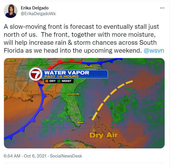
All eyes are watching closely just to the east of us near the Bahamas where we find an upper-level disturbance that could affect our weather in the next couple of days. In the meantime, we will also be eyeing a weak front that, as of now, is forecast to stall just to the north of us in the days to come. Together, these two weather features could change our weather pattern through the next few days.
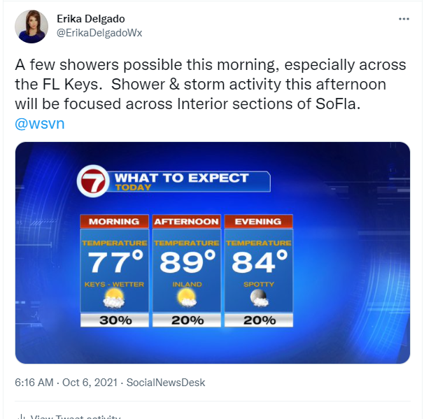
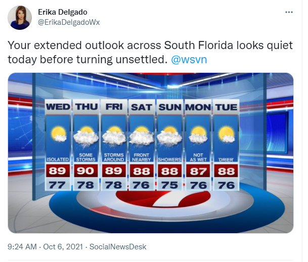
For today, rain chances will still remain on the lower end of the scale, however, it won’t be completely dry. A few passing showers will be possible while our afternoon high temperatures remain near average in the upper 80s once again. We will notice humidity levels beginning to rise just a bit through the second half of the week. But for now, we will call today more of a transitional day across South Florida before the weather pattern turns unsettled.
Looking ahead, the models are hinting that South Florida could see better rain and thunderstorm chances through the second half of the work week. The reason? Moisture associated with the disturbance near the Bahamas and also the weak front mentioned above. Together, both weather features will help trap moisture over SoFla AND will create an unstable atmosphere. The front stalling north of our area should also change our steering winds, which would put the focal point for afternoon thunderstorms across the East Coast metro areas this upcoming weekend.
Have a great afternoon!
Erika Delgado
Meteorologist
WSVN Channel 7 News
Copyright 2024 Sunbeam Television Corp. All rights reserved. This material may not be published, broadcast, rewritten or redistributed.