

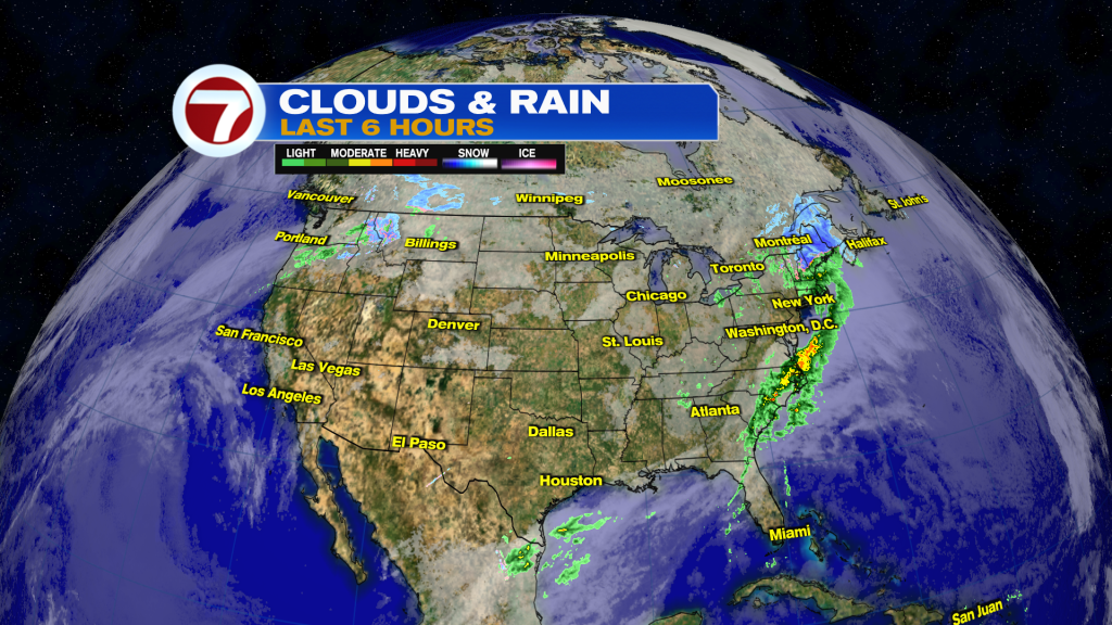
Heavy rains expected in the Eastern U.S. today with freezing rain and snow possible across New England and the interior Northeast. The highest snowfall totals are expected from New Hampshire through Maine.
Also, forecast calls for moderate to heavy snows around the Northern Rockies Wednesday through Thanksgiving.
If you are traveling today, minor delays expected between the Mid-Atlantic States through the Northeast, so make sure to check with your flight carriers for any potential changes.
What about South Florida?
The front won’t have enough moisture to work with, so it should be a mostly dry and very warm day ahead.
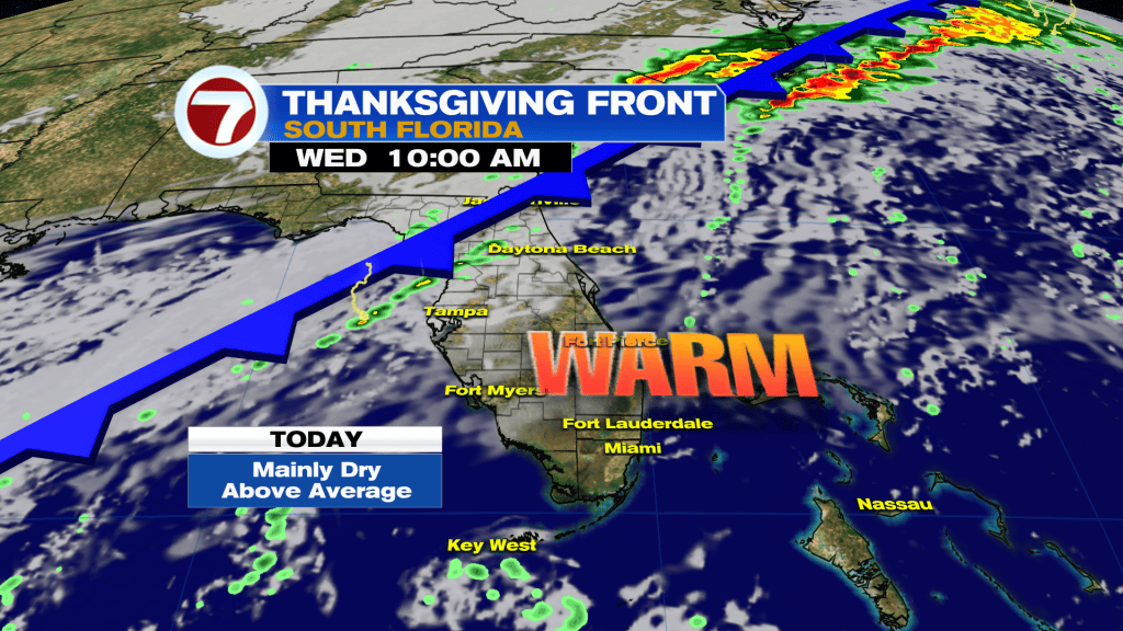
It crosses through tonight into Thanksgiving morning with only small chance of seeing spotty showers early in the day.
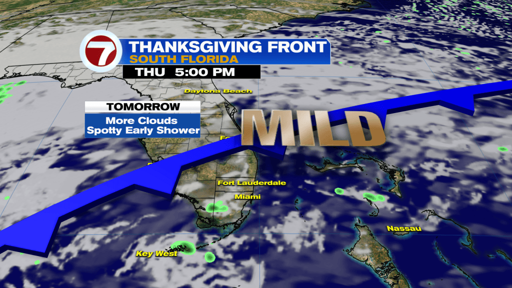
Times of clouds possible, but it looks mostly dry and mild as winds shift out of the North-Northeast briefly, so if you have any sort of outdoor dinner plans, it is looking good.
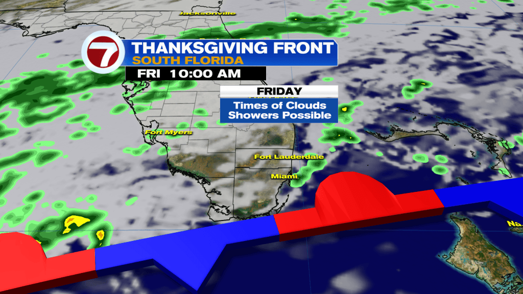
The front stalls Friday-Saturday nearby, so a few additional showers possible by then.
Temperature get closer to average for a few days! Lows in the upper 60’s to about 70 degrees and highs in the lower 80’s.
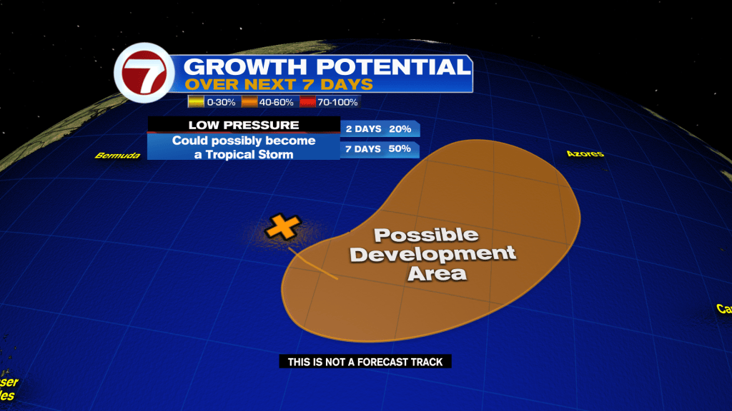
Today in the Tropics: Low pressure in the Atlantic still has medium chance to form. It is no threat to the United States.
Have a happy and safe holiday South Florida. Thank you for your continued support!
Vivian Gonzalez
Meteorologist, AMS Certified
WSVN Channel 7