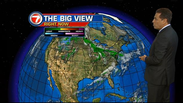
Our beautiful weather streak continues. This persistent stretch is due to high pressure that’s been hanging out, east of Florida. As the high stays put (or at least "nearly stationary") into the middle of the week, changes will continue to be hard to come by. You might remember, the last batch of rain and storms came exactly one week ago. Since then, it’s been smooth sailing with these dry and pleasant days. Our temperatures are running near normal for the second week of May. Also, a "helpful breeze" continues to come off the ocean keeping us comfortably warm. The upcoming weather forecast calls for a gradual weakening of high pressure over the western Atlantic Ocean. With the weaker high, a cold front will attempt to move into north Florida at the start of the weekend. The front will probably stop short of making a noticeable impact around the south Florida region. It will, however, feel more like summer as afternoon temperatures flirt with 90 degrees. If you’re wondering about rain chances… only sparse showers and storms will pop up, as we round out the week.
Simply seasonal

