
The weather was simply fantastic for Mother’s Day and more of the same continues for the start of the week. We have to thank an area of high pressure which is filtering extra dry into South Florida. This area of high pressure is anchored over the Southeast United States stretching into the Western Atlantic Ocean. However, today our winds have veered off of the ocean and that will gradually warm temperatures up and increase the humidity. By Wednesday, we will have more of the same type of weather conditions. It won’t be until late week that we see a better rain chance return into the forecast.
For now, the Southern and Central Plains moving Eastward into the low to middle Mississippi Valley will have an enhanced risk of seeing severe weather due to a strengthening cold front over the region. That potential will be present through Monday night.
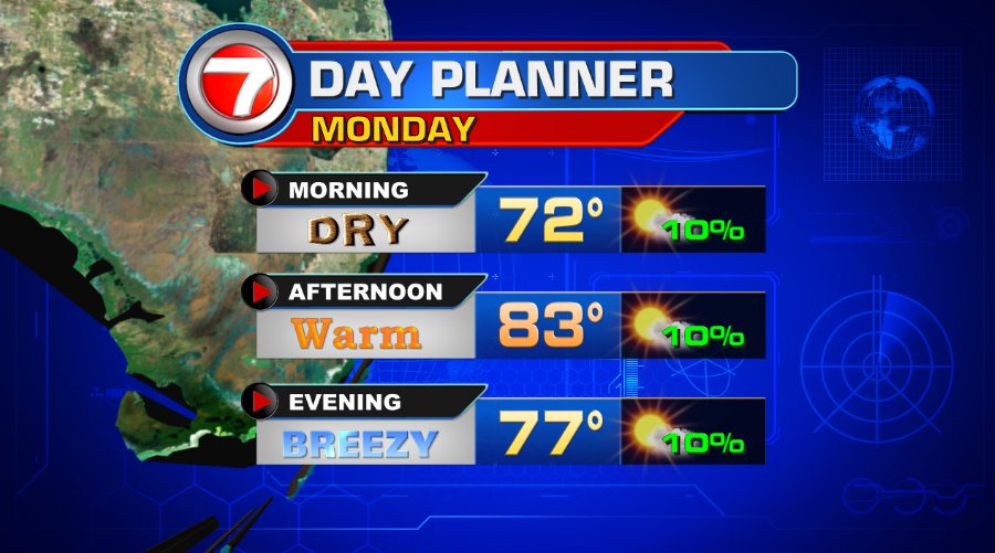

Have a wonderful day South and enjoy this quiet stretch. Umbrellas can be stored away…
Vivian Gonzalez
Meteorologist, AMS
WSVN Channel 7