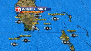
You’d never know it by our recent rainy pattern, but we’re in the well-known dry season! Our damp and dreary days have been because of a pesky, stalled-out front. Over the weekend, the boundary not only lingered… but it also wavered back and forth to some extent. Places like Homestead and Pembroke Pines picked up between 2 and 4 inches of rain since last Friday! Looking ahead, Monday will be somewhat of a “transition day.” As the front gradually dissipates, we’ll still have enough moisture to produce some additional rain. Patchy showers will likely cross the area, arriving from the ocean and moving toward the northwest. By Tuesday, more sunshine and drier conditions should finally return. As winds get more established out of the southeast (then turning out of the south) a noticeable warming trend will grow. Highs are expected to reach into the middle 80’s, in fact, for the midweek! The next weather change involves another front that’s forecast to move into south Florida on Thursday. At this point, the front is likely to be weak and isn’t expected to have much moisture. If that holds true the local rain chances will stay low… despite the presence of another front. Ultimately, the set up becomes somewhat of a wind-maker as speeds increase behind the front. Even though the cold front is projected to pass, cooling will stop short of reaching south Florida. The main cooling will again be confined to the northern reaches of the state (and, of course, widespread north of Florida).


