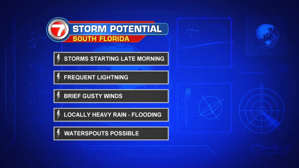
Doesn’t look like we are breaking out of this stormy cycle… at least for another couple of days.
Southerly winds will continue to tap into deep tropical moisture around us. Expect partly sunny mornings with more numerous to scattered storms, favoring the inland areas, as storm clouds roll in by the afternoon/evening hours.
Local rain chances will slip by the weekend and knock us back into a typical summertime pattern as high pressure strengthen over the Western Atlantic.
We will see isolated coastal & metro nighttime/morning showers with PM storms, favoring the inland areas, during the afternoon/evening hours. Additionally, Saharan dust will move back into the region to help hinder rain chances.
This will also be the trend into the start of next week.
Copyright 2024 Sunbeam Television Corp. All rights reserved. This material may not be published, broadcast, rewritten or redistributed.