Local Weather:
A typical summer-like weather pattern will continue for South Florida through the weekend. Temperatures will be near normal with overnight lows in the upper 70’s and afternoon highs in the lower 90’s. The sea breeze each afternoon will trigger some inland showers and storms with about a 30% chance of rain. A slight increase in moisture early next week will leave us with a better chance for storms.
Good morning, south Florida! @wsvn pic.twitter.com/4PssunXFnq
— Vivian Gonzalez (@VivianGonzalez7) September 16, 2016
Try to avoid inland areas during the afternoon hours. The sea breeze will kick in. @wsvn pic.twitter.com/CduknpqlE7
— Vivian Gonzalez (@VivianGonzalez7) September 16, 2016
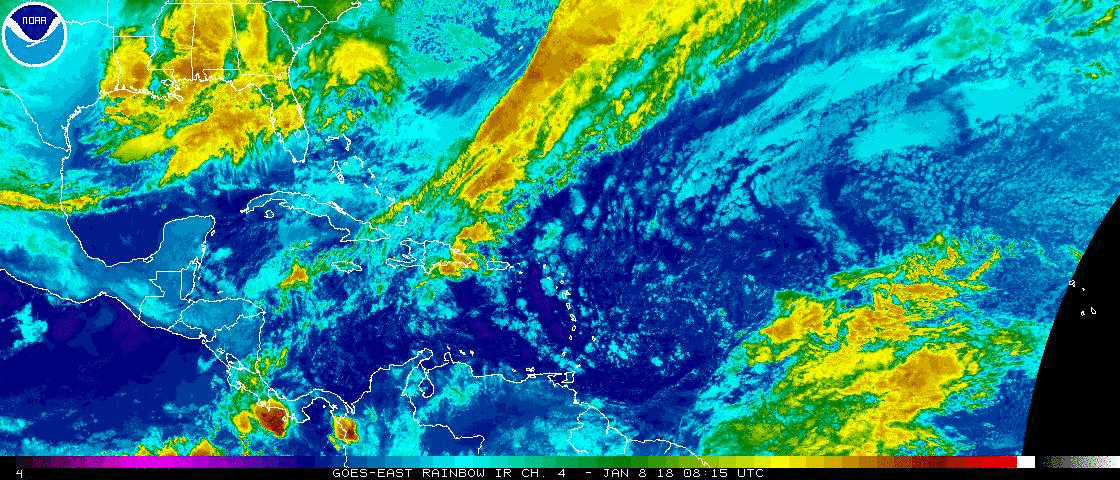
Tropical Update:
Tropical Storm Ian is racing northeastward over the north Atlantic and likely to become post-tropical later today. It is moving through colder waters and that will help Ian lose tropical characteristics and fall apart.
Tropical Storm Karl is moving west over the eastern Atlantic Ocean. A jog to the west-southwest will be possible on Saturday, but it should be located north-northeast of the Leeward Islands by the middle part of next as a possible category one hurricane. It is far away and we have plenty of time to watch Karl.
Tropical Storm Julia continues to meander off the southeast coast of the United States. The forecast track calls for it to get closer to the coast of South Carolina over the next couple of days. Gradual weakening is anticipated early next week.
We are watching an area of clouds and rain over the northwestern Gulf of Mexico. Development if any, should be slow to occur before it moves inland over Texas by Saturday. The National Hurricane Center is only giving this area a low chance to form.
A tropical wave will move off the west coast of Africa today and move west-northwest at 5-10 mph over the far eastern Atlantic. Conditions appear favorable for growth of the wave and it has a medium chance to form in the next 5 days.
Have a wonderful weekend South Florida and make it a safe one!
Vivian Gonzalez
Meteorologist, AMS Certified
WSVN Channel 7