Local weather: South Florida look for spotty showers on the breeze through Wednesday. By Thursday, storm chances increase with a little more moisture moving in from the Bahamas.
Spotty showers on the breeze possible this morning. pic.twitter.com/3q02uAsUmX
— Vivian Gonzalez (@VivianGonzalez7) August 7, 2017
Tropical Storm Franklin is getting gradually stronger and will pass to the north of Honduras today and approach the east coast of the Yucatan Peninsula late afternoon. It should be nearing hurricane strength as it makes landfall tonight into Tuesday morning. On the forecast track, it will emerge into the Bay of Campeche in the southern Gulf of Mexico and then make landfall a second time in Central America some time on Thursday. The main concern with Franklin will be heavy rainfall. Models are showing that 3 to 6 inches, with isolated amounts of around 12 inches . are possible across the Yucatan Peninsula and Belize through Wednesday. Highest amounts over the Mexican state of Quintana Roo. Life-threatening flash floods possible. Storm surge of 2 to 4 fee above normal tide levels expected along the immediate coast near and to the north of where the center of Franklin makes landfall.
T.S. Franklin continues to strengthen with increasing wind speeds at 60 mph. No changes to watches/warnings. @wsvn pic.twitter.com/w7Y7Ah4UJB
— Vivian Gonzalez (@VivianGonzalez7) August 7, 2017
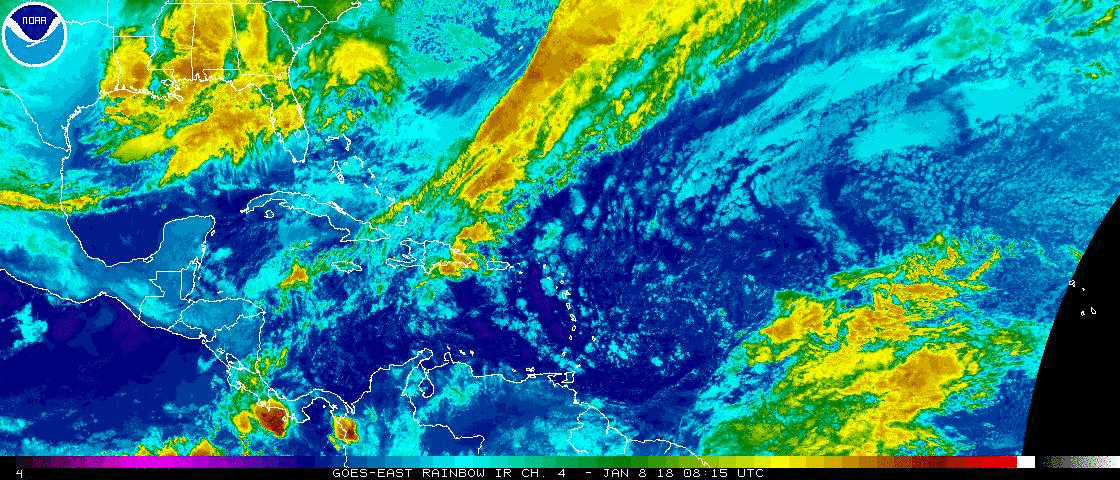
We are watching another area for growth in the Atlantic Ocean, but the chance are lower today. It is producing disorganized showers and storms midway between the Cape Verde Islands and Lesser Antilles. Conditions are not favorable for development now. In the next couple of days, conditions may become better for this one to grow.
Have a wonderful day South Florida and make it a safe one!
Vivian Gonzalez
Meteorologist, AMS Certified
WSVN Channel 7