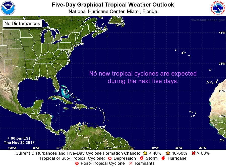
Stray showers will remain in the forecast through early Saturday morning as a disturbance lingers off the east coast of the Sunshine State. As of Friday afternoon, the National Hurricane Center stated this feature will not develop into a tropical system.

By the weekend, high pressure will build back in over South Florida as this cluster of clouds and showers drifts north. This will trigger the sea breeze as a typical summertime pattern of coastal AM showers and inland PM storms returns.
TROPICS
An area of disturbed weather is located north of Puerto Rico. Still a disorganized feature over the Atlantic waters, tropical development chances remain low over the next 2 days. The National Hurricane Center is giving this area of interest a medium chance of development over the next 5 days. The potential area for development looks to remain east of The Bahamas.

Copyright 2024 Sunbeam Television Corp. All rights reserved. This material may not be published, broadcast, rewritten or redistributed.
