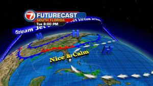
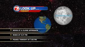
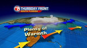
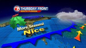
We’re on “sky watch” for a couple of reasons. Peaking early Wednesday morning is the Geminid Meteor showers and there’s also the so-called supermoon! It’s worth viewing the moon to see one of the biggest and brightest full moon’s of the year (which is the reason the term super is used). The strong glow of the moon may not do us a favor, though, when it comes to seeing shooting stars associated with the meteor shower! The brightness could also combine with low level haze over south Florida to make less than ideal viewing conditions. Having said that, very calm and pleasant weather will continue. Have you noticed the extra warmth lately? Temperatures have turned higher since the weekend and we’re running warm for this time of the year. The warming trend will actually peak on Wednesday! Even more impressive is the potential for record highs during the afternoon. The forecast calls for midweek readings reaching into the middle 80’s. In Miami, the record for the date (December 14) is 86° set way back in 1900! We’ll be close to that mark. Worth noting, on Tuesday afternoon Key West surged into the mid 80’s and tied their record from 1956. If you’re ready for more seasonal and mild weather (instead of the heat) there’s some positive news for you. A cold front will get a southward push from Wednesday through Thursday across Florida. Rain will favor the northern and central parts of the state. For the south, just a few extra clouds will temporarily come in the wake of the front. Behind the boundary, then, we’ll see abundant sunshine due to a large dose of dry and stable air at the end of the week. By the way, there’s a good chance that we’ll be in for another windy weekend. Winds will become gusty by Sunday as high pressure strengthens to our north.