Local Weather:
High pressure is located over the region today and it will maintain a light ocean breeze today. As conditions heat up today, we will see sea breeze driven showers and storms develop over the interior locations. An increase in moisture on Tuesday and Wednesday will lead to slightly better coverage of showers and storms. By Thursday, Fall officially starts, but the weather certainly won’t know it. It will sizzle Summer style going into the weekend.
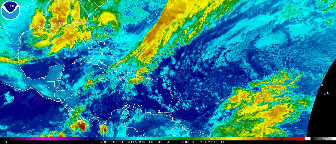
More moisture is forecast to return to south Florida today through Tuesday. @wsvn pic.twitter.com/zctmtOaJ6O
— Vivian Gonzalez (@VivianGonzalez7) September 19, 2016
Tropical Update:
Tropical Storm Karl is expected to strengthen slowly. A turn toward the west-northwest will happen later today or on Tuesday. The official forecast track from the hurricane keeps Karl away from the Caribbean Islands and curving away from the United States this weekend for now. We still have plenty of time to watch it in case anything changes.

Shower and thunderstorm activity associated with a large well-defined area of low pressure located southwest of the Cape Verde Islands is beginning to show signs of organization. Conditions do appear favorable for growth over the next couple of days, and a tropical depression is likely to form later today or on Tuesday. The heavy rains and gusty winds over the Cape Verde Islands should diminish later today. This area has a high chance in developing.
Have a great day South Florida and make it a safe one!
Vivian Gonzalez
Meterologist, AMS Certified
WSVN Channel 7