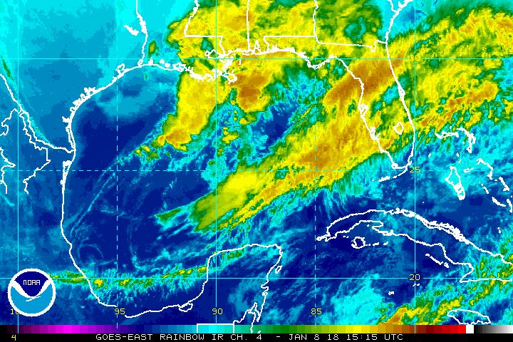
High pressure is centered over the southeast United States stretching into the western Atlantic Ocean. We also have a little wrinkle in the atmosphere that developed around the northwest Bahamas late in the day on yesterday. These two features will combine to help bring in some added moisture into South Florida this Thursday.
Right now, the satellite and radar picture is showing that this area of clouds and rain is inching closer due to our easterly breeze. If it holds, we will see some activity late morning into the afternoon.
Rain chances will be back to seasonal by the end of the week and into the weekend of seeing late day scattered inland storms. Have the umbrellas on hand just in case.
South Florida can tap into some moisture over the Bahamas today. @wsvn pic.twitter.com/T6uahGkVlM
— Vivian Gonzalez (@VivianGonzalez7) August 11, 2016
Tropical Update: All is quiet.
Just in: NOAA updated their outlook for the 2016 Atlantic Hurricane Season. They have bumped up the chance of seeing a near-normal or above-normal hurricane season. That chance is up to a 70%. Their thinking is that it is still expected to be the most active season since 2012. The reason for the increase in numbers is due to El Niño ending and less shear (a.k.a. strong winds) in the Atlantic Ocean.
2016 Hurricane Season Update: "This season is still expected to be the most active since 2012". @wsvn pic.twitter.com/dq4a1Jsddd
— Vivian Gonzalez (@VivianGonzalez7) August 11, 2016
Have a wonderful day South Florida and make it a safe one!
Vivian Gonzalez
Meteorologist, AMS Certified
WSVN Channel 7
Copyright 2024 Sunbeam Television Corp. All rights reserved. This material may not be published, broadcast, rewritten or redistributed.