As we cruise into the latter half of the work week, a pool of moisture will move into South Florida leading to more scattered showers and storms into Saturday.

Expect the southeast breeze to push showers through the coastal and metro areas in the morning with the bulk of the moisture inland during the afternoon/evening hours as storms.
High pressure is expected to rebuild starting Sunday into Labor Day. This will lead to a few showers with inland storms off the sea breeze.
By next week, storm chances will ramp up with the approach of a front aiming for Central Florida trapping tropical moisture over South Florida.
TROPICS
As of Thursday afternoon, Irma became the next major hurricane of this Atlantic season as a category 3 system.
#Irma is now a major system. Could be a cat 4 as it nears the Lesser Antilles by the middle of next week. pic.twitter.com/FPllZmxn6J
— 7 Weather (@7Weather) August 31, 2017
This system will continue to track westward in the days ahead getting closer to the Leeward Islands.
Some models suggest this one will make its way closer to South Florida either to the south of the Sunshine State or over the Western Atlantic. There is still plenty of time to watch and wait!
GFS Model places #Irma as a Cat 4 system East of the Lesser Antilles by the middle of next week. pic.twitter.com/cwW06kJ66u
— 7 Weather (@7Weather) August 31, 2017
Additionally, Harvey is a tropical depression over the southern states and moving towards the northeast. The last advisory was issued on Thursday morning by the National Hurricane Center. This system will continue to spread heavy rain from Tennessee to West Virginia.

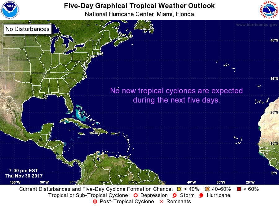
Over the southwestern Gulf of Mexico, the National Hurricane Center suggest a low will form in the days ahead with low chances for tropical development. They are also giving a tropical wave off the west coast of Africa a medium chance for development over the next 5 days.
Copyright 2024 Sunbeam Television Corp. All rights reserved. This material may not be published, broadcast, rewritten or redistributed.
