As high pressure remains extended across the Sunshine State, easterly winds will keep sweltering conditions in place. Hot highs in the mid 90s will continue to feel close to 105° to wrap up the work week.
Miami within 1 degree of tying its record for high temp on this date. Above avg temps to remain thru weekend. pic.twitter.com/7dwOPFP6oj
— 7 Weather (@7Weather) July 27, 2017
Winds will begin to shift out of the west into the weekend while a frontal boundary moves closer to the state. This change in the winds will bring better rain chances in the days ahead. Saturday is looking to be more like our typical summertime pattern with morning showers and inland afternoon/evening storms. On Sunday, expect scattered showers and storms across South Florida with the heating of the day and calming down by nightfall. This will be the trend for most of next work week.
TROPICS
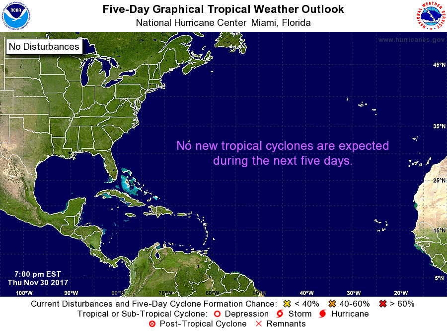
A tropical wave to the southwest of the Cape Verde Islands continues to produce disorganized showers and storms. Slow development is possible with this feature as it moves westward in the days ahead.

Copyright 2024 Sunbeam Television Corp. All rights reserved. This material may not be published, broadcast, rewritten or redistributed.
