Local Weather:
High pressure over the southeast United States is providing for a steady breeze from the northeast keeping high wind and seas in place. Also, we can’t rule out seeing a few isolated showers along the breeze as we finish off the week. Right now, we only have a 10-20% rain chance in the forecast. The good news is that water levels are gradually getting lower as king tides are weaker. This means only isolated areas of flooding possible during times of high tide through Thursday.
However, Computer models are still insisting on a fall front arriving some time Friday with nice changes for the weekend. Right now, it is expected to cross through unnoticed and bring dry and cool-ish temperatures starting Sunday morning.
South Florida will take what it can get! This slight dip in temps is forecast to be pleasant. @wsvn pic.twitter.com/4NrC8Mcmq0
— Vivian Gonzalez (@VivianGonzalez7) October 19, 2016
Tropical Update:
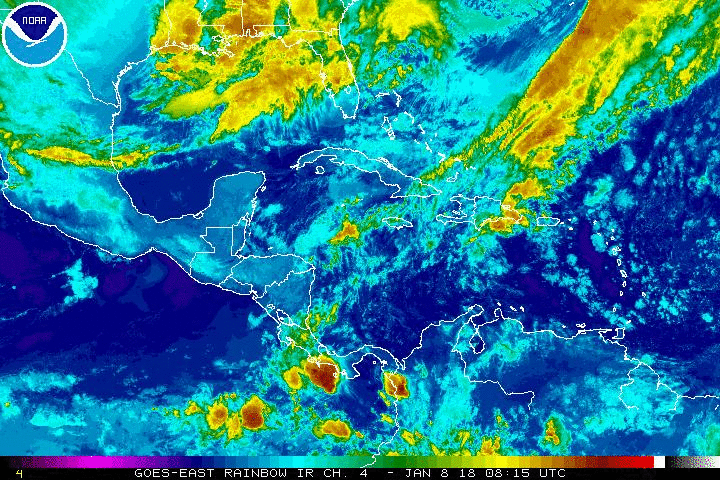
Area of clouds and rain located to the northeast of the Turks and Caicos Islands remains disorganized. This area will only have a small window of opportunity to develop, but it has a high chance in becoming the next depression or storm of the season. It is expected to merge with a cold front over the western Atlantic Ocean away from the United States by the weekend.
Have a wonderful day South Florida and make it a safe one!
Vivian Gonzalez
Meteorologist, AMS Certified
WSVN Channel 7