As high pressure builds back over South Florida, a northeast breeze will push showers in our direction today. Off the breeze, expect spotty showers through tonight moving in off the Atlantic waters. This morning, those showers look to favor the coastal and metro areas.
Happy Thursday! Onshore winds pushing spotty showers in our direction today. Here's a breakdown of our forecast @wsvn #flwx @7weather pic.twitter.com/evJfSmKEyn
— Miss Chavis (@karlenechavis) November 16, 2017
The steady onshore winds will also rough up the surf and seas. There is a high risk of rip currents at our local beaches. For boaters in Miami-Dade and Broward coastal waters, they are advised to use caution. For The Keys, there is a small craft advisory in place.
Red flags are out! High risk of rip currents at our local beaches. Boaters should use caution along the Miami-Dade & Broward coast. Also a Small Craft Advisory in effect for The Keys in the Atlantic waters @wsvn @7weather #flwx pic.twitter.com/SD8y8dXgym
— Miss Chavis (@karlenechavis) November 16, 2017
Drier air will start to settle in over South Florida into the weekend. Expect isolated showers under mostly to partly sunny skies and seasonal temps.
Models suggest another cold front will close in on South Florida starting Sunday night. It looks to stall over the region and bring spotty showers for the first half of the week. The jury is still out on whether we will feel cooler temps. Stay tuned!
TROPICS
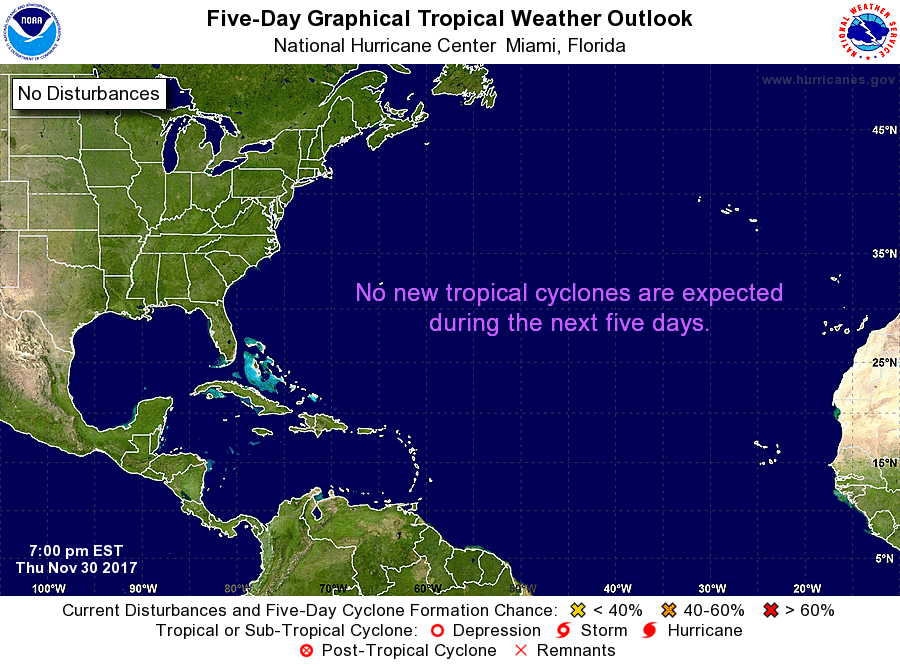
Area of low pressure in the Caribbean Sea is producing disorganized showers and storms. The National Hurricane Center is giving it low chances for tropical development over the next 5 days. Just a friendly reminder, hurricane season ends in 2 weeks.
Copyright 2024 Sunbeam Television Corp. All rights reserved. This material may not be published, broadcast, rewritten or redistributed.