Local Weather:
A strong northeasterly breeze will keep high seas and the risk of rip currents in place. This breeze should help drive in isolated showers and the forecast is calling for a slight chance the entire week. However, the main concern will be coastal flooding around most vulnerable areas during high tides. A coastal flood advisory will remain in effect until Wednesday morning. The next high tides today will happen between 9 and 11 pm.
By midweek. an area of clouds & rain is forecast to be nearby. @wsvn pic.twitter.com/k0ZnKAo2Ev
— Vivian Gonzalez (@VivianGonzalez7) October 17, 2016
Tropical Update:
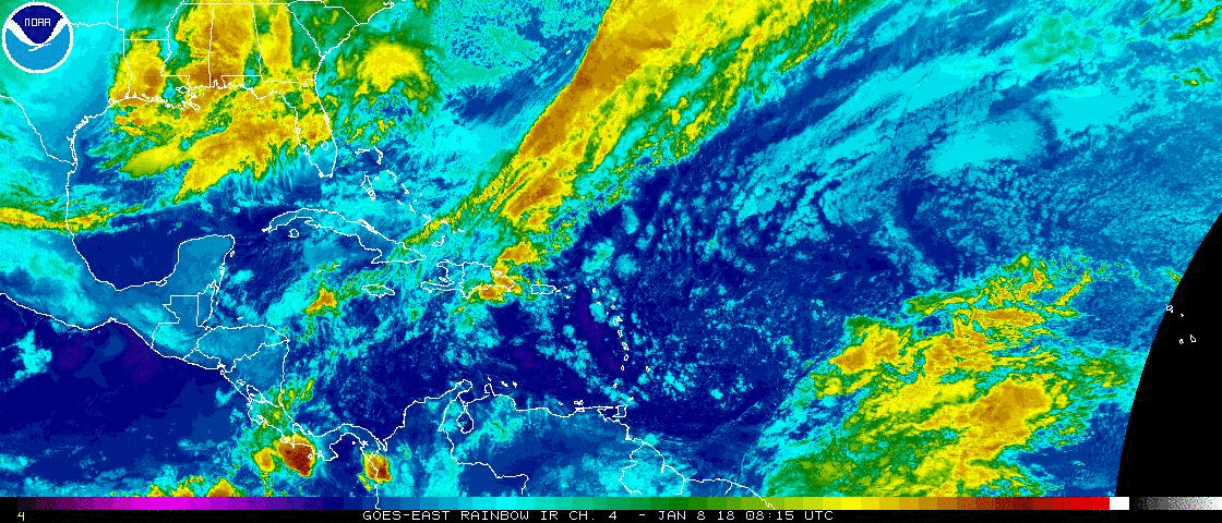
A large area of clouds and rain located over the southeastern Bahamas is currently under and unfavorable environment for growth. By Tuesday or Wednesday, conditions could become more favorable for development as it drifts north to north-northeast. Locally heavy rainfall likely to spread over much of the Bahamas during the next couple of days.
Hurricane Nicole is located in the northern Atlantic Ocean generating high surf, but will not bother any land areas. It should gradually weaken over the next few days.
Have a wonderful day South Florida and make it a safe one!
Vivian Gonzalez
Meteorologist, AMS Certified
WSVN Channel 7