Steering winds out of the west once again today will drag plenty of tropical moisture our way. This will set the stage for an active afternoon of storms. Some of the storms could be capable of producing gusty winds and small hail at times. Our rain chance is at 50% through Thursday.
By Friday, high pressure starts to build and strengthen from the western Atlantic Ocean and a light east wind should bring our weather back to typical. Even though Fall officially starts on Thursday, it will feel a lot like Summer. Look for sea breeze driven inland showers and storms favoring southwest Florida. High temperatures will remain in the low 90’s and low temperatures in the mid to upper 70’s.
Another round of storms is expected this afternoon. @wsvn pic.twitter.com/NNKLAEGm1K
— Vivian Gonzalez (@VivianGonzalez7) September 21, 2016
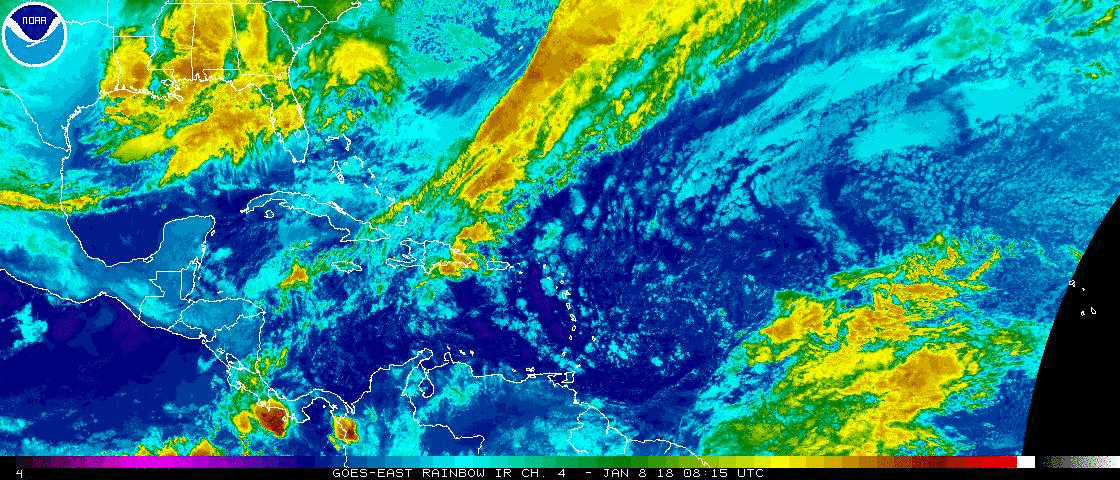
Tropical Update: We have two systems we are tracking and none are a threat to the United States. In fact, no threat to land.
Tropical Depression Karl is losing the battle against the hostile environment prevailing in the tropical Atlantic. Conditions will become favorable for strengthening and it could become a tropical storm coming close to Bermuda over the weekend. A potential hurricane moving into the Northern Atlantic where it will head into the hurricane graveyard next week.
![[Image of 5-day forecast and coastal areas under a warning or a watch]](http://www.nhc.noaa.gov/storm_graphics/AT12/refresh/AL1216W5_NL+gif/083551W5_NL_sm.gif)
Tropical Storm Lisa is a little stronger. This one is no threat to land and expected to fall apart early next week over the open waters of the Atlantic.
Have a wonderful day South Florida and make it a safe one!
Vivian Gonzalez
Meteorologist, AMS Certified
WSVN Channel 7