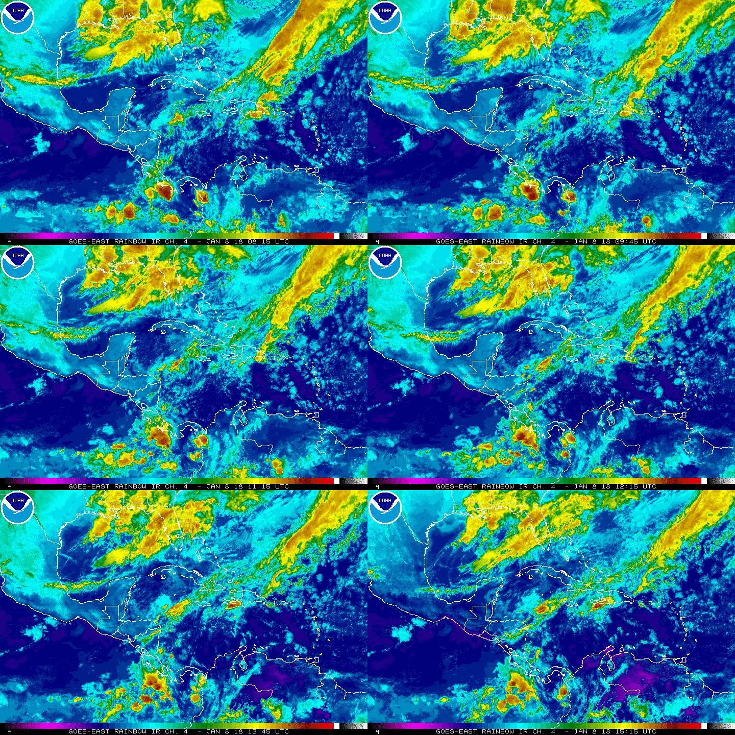
Local Weather: High pressure anchored over the southeast United States stretching into the western Atlantic Ocean will continue to weaken as a fall front is on the move. Most of the computer models are suggesting that this front will have enough of a push to cross through South Florida late Friday. It will move through relatively dry. There is only a slight chance of isolated showers.
By Saturday, skies will gradually clear and we will have a nice change in the air. Temperatures to start will range in the upper 60’s and then mid 60’s Sunday. Therefore, look forward to a dry and cooler weekend with little humidity. Enjoy!
Morning temperatures are forecast to go down into the upper 60s this weekend. Who's excited? @wsvn pic.twitter.com/95U1hlISdW
— Vivian Gonzalez (@VivianGonzalez7) October 20, 2016
Tropical Update: We continue to monitor an area of clouds and rain to the northeast of the central Bahamas. It remains disorganized with a small window of opportunity to form before it merges with a front moving through the southeast United States. The National Hurricane is giving this area a medium chance to form during the next 48 hours. A recon plane is on standby to investigate it this afternoon, if necessary. For now, locally heavy rainfall possible over Hispaniola and Puerto Rico today.

Have a wonderful day South Florida and make it a safe one!
Vivian Gonzalez
Meteorologist, AMS
WSVN Channel 7
