We will see the possibility of a few isolated sprinkles under partly cloudy skies as our easterly winds continue to push warm, moist air into South Florida on Thursday night.
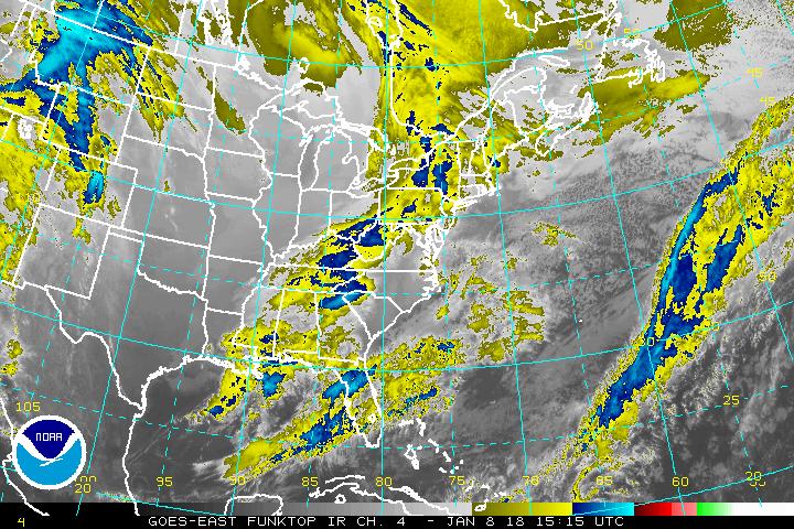
A strong system extending from the Ohio River Valley to the Gulf Coast sparked a stormy mix on Thursday afternoon with the combination of heavy rain, flash flood potential, gusty winds, hail and severe thunderstorms igniting Tornado Warnings from Ohio to the southern states including Kentucky, Alabama, Tennessee, Arkansas and Mississippi. Additionally, this system is packing a punch in the midwest, where blizzard warnings were issued for Minnesota and Iowa are in effect until Friday afternoon.
As this system approaches the southeast, the moisture will increase bringing a dose of isolated showers. Once the afternoon heat gets cooking, there is a slight chance we could see spotty thunderstorms. Passing shower chances will continue for Saturday. Expect less clouds and more sunshine by Sunday.